A Wet Weekend Expected
FRIDAY: Expect partly cloudy skies with a hot and humid day. Most areas will get into the upper 80s but some of us do make it into the 90s. There is also the chance of a passing shower or storm in the afternoon, much like we saw on Thursday. Winds will be from the south at 7-14 mph.
FRIDAY NIGHT: Any storms will dissipate after sunset, leaving the overnight mild and humid. Temperatures will drop to near 70 with a light south wind. That should help to keep any fog at bay.
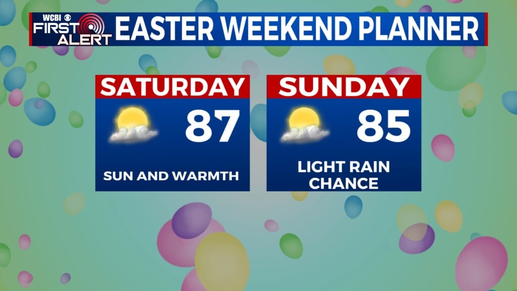
SATURDAY: Additional scattered showers and storms will roam the region. Steamy highs in the upper 80s continue. The best chance looks to be in the afternoon, with the highest chance in the evening. One or two storms could have some gusty winds and maybe some small hail, but the overall severe threat is low.
SUNDAY: More widespread showers and storms are likely as a cold front pushes into the area. Highs will range from the upper 70s to lower 80s.
NEXT WEEK: A few showers are possible Monday but we’ll have a better opportunity for rain and storms on Tuesday. If we’re lucky the unsettled weather will scoot out of the region by Wednesday afternoon. Things look to stay cool for a little bit as we finish the week, giving us a rare May treat.
Follow WCBI Weather on Facebook, Twitter, and Instagram


Leave a Reply