Wet week ahead
COLUMBUS, Mississippi (WCBI) – False spring is over with wet weather quickly replacing it. An active weather pattern for this weeks sets the stage for multiple rounds of heavy rain and storms.
TONIGHT: Post-frontal cool air has slowly worked its way through Northeast Mississippi today. Tonight, temperatures will be cool, into the low to mid 40s with even some upper 30s in our northern-most counties. We will be locked in cloud coverage all night with a few sprinkles possible.
MONDAY: Overcast and gloomy. You may see an isolated shower here or there during the day, but the major rain event holds off until Tuesday. Temperatures will be right around average, into the mid 50s.
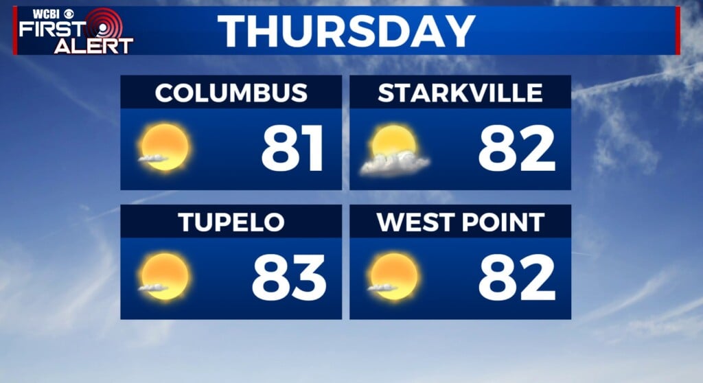
DUST OFF THE RAIN BOOTS: The next weather-maker begins Tuesday mid morning and will last through Wednesday. Definitely going to be wet out there, and you’ll need rain gear. Looks like we will dry out from the rain Thursday into Friday, but another round of rain and storms will begin to work its way through Saturday.


