A Week of Summer before Spring Tries to Come Back
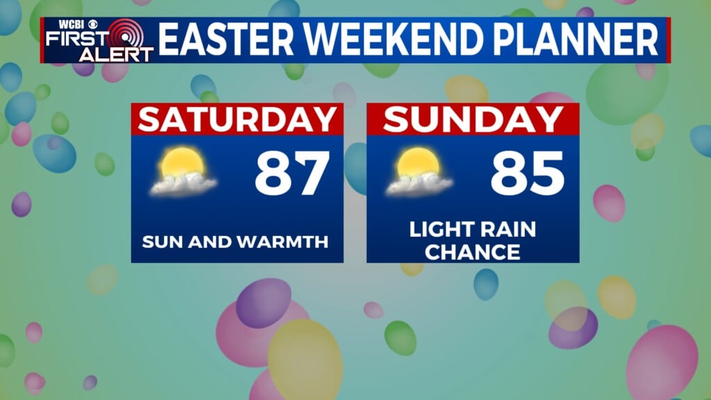
EASTER SUNDAY: Any showers will dissipate after sunset, leaving Sunday Night to be dry. Temps will fall into the low 60s with light south winds and partly cloudy skies.
MONDAY: Scattered showers will develop in the early afternoon with a rumble of thunder not out of the question. We could see a line of showers push through Monday evening as well. This could be our best chance at seeing rain this weekend as we’re still in the drought from last fall. Cooler highs in the upper 70s to low 80s can be expected with more cloud cover in the region.
TUESDAY: A few additional showers or storms are possible but coverage will be less than Monday. Highs return to the low 80s.
WEDNESDAY – THURSDAY: A drier and warmer pattern returns. Can’t rule out a summertime pop-up shower, but chances are very low for storms. Daytime highs may push 90° by Thursday!
FRIDAY – WEEKEND: Could see a stronger storms system move in but the details are still in play. Data suggests that this could be a pattern flip that brings us out of this summertime weather and into more springlike weather with cooler air and more chances for showers/storms. As of now it appears that a cold front will push through Saturday afternoon/evening into early Sunday morning bringing with it showers and thunderstorms. Behind it, Sunday into early next week could see some cool temperatures!


Leave a Reply