Weather Update for September 29th, 2018
SATURDAY NIGHT: Saturday was another seasonal day across northeastern Mississippi and western Alabama. Clouds will increase overnight, and lows will drop down into the middle 60s. Patchy fog is possible across the area overnight.
SUNDAY: Patchy fog will be around to start things off Sunday morning, so be sure to factor in some extra time for your morning commute. Clouds will begin to clear as we head into the afternoon and evening hours on Sunday, allowing our temperatures to climb into the middle 80s. Overnight lows on Sunday will range in the middle to upper 60s.
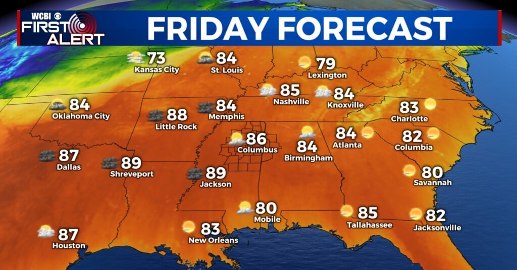
MONDAY/TUESDAY: A few showers and storms will work their way back into the area to start off the work week. The cold front that moved through our area last week has transitioned into a stationary front. This stationary front will lift back through our area on Monday and Tuesday, bringing us a chance of some isolated and scattered afternoon showers and storms. Highs on Monday and Tuesday will range in the middle to upper 80s, with overnight lows dropping down into the upper 60s and lower 70s.
WEDNESDAY/THURSDAY/FRIDAY: Once the stationary front lifts out of our area, high pressure will begin to build back in on Wednesday. This will cause our high temperatures to increase, and will also make it feel more muggy. Rain chances will decrease for the middle and second half of next week thanks to this high pressure system. Highs will remain above average, topping out in the upper 80s. Overnight lows will drop just a tad, staying in the upper 60s.
SATURDAY: Saturday looks like another dry day across our area. Saturday will probably be the last decent pool day for the year. Highs will remain in the upper 80s across the area, with overnight lows dipping down into the upper 60s. Rain chances will remain near zero through Sunday.
Follow WCBI weather @WCBIWEATHER on Facebook, Twitter and Instagram!


Leave a Reply