Unsettled pattern with lots of shower and storm chances
SUMMARY: Storms across the area will die down into the overnight hours, but a scattered shower or 2 is not unlikely. Thursday looks to have lower rain chances, but scattered afternoon storms still possible. Rain chances diminish to an isolated stray storm for Friday and Saturday, but another disturbance brings much higher rain chances for Sunday and the start of next work week. Highs fairly seasonable, mid to upper 80s with lows in the mid to upper 60s.
TONIGHT: Storms die down as we head into the overnight hours, but there will still be a scattered shower or storm around. Winds from the SSW between 5-15mph, and lows in the mid 60s.
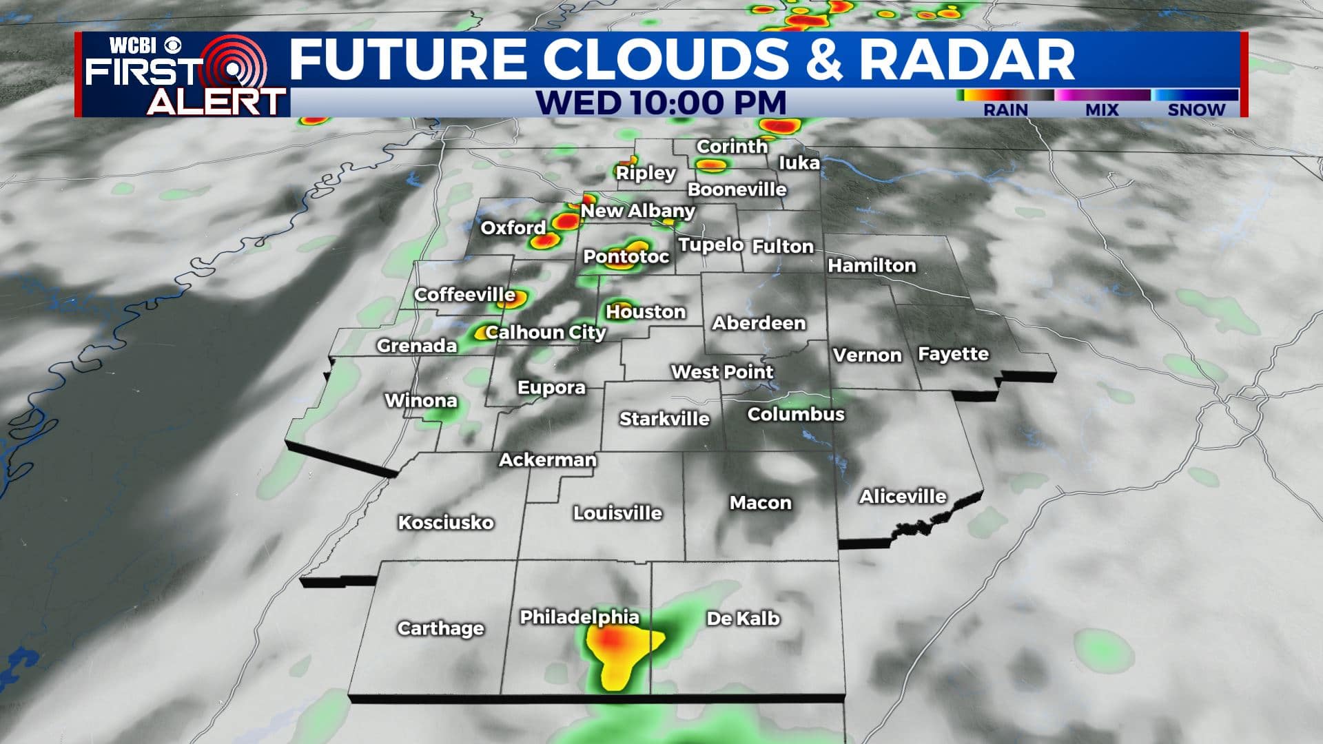
THURSDAY: Lower rain chances than Wednesday, but still a fairly good chance of scattered showers and storms throughout the day. SW winds up to 15mph, and highs in the mid-80s.
THURSDAY NIGHT: Storm chances drop off again as we lose the heat of the day. A mild and muggy night in store, with lows in the mid 60s once again.
FRIDAY: Much lower rain chances for Friday, most of us should stay dry throughout the day. Expect partly cloudy skies and a high in the upper 80s to around 90. A stray shower or storm is still possible.
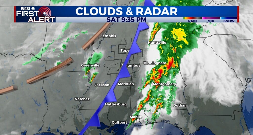
SATURDAY TO WEDNESDAY: Saturday looks to be the warmest in the forecast period, with a high near 90 and a slight chance of a shower or storm. Rain chances ramp back up for Sunday, and temperatures will cool a bit into the mid 80s. Low 80s likely as we start next work week with widespread showers and storms Monday. Rain chances diminish a bit as we head into the middle of next week, and temperatures warm back into the mid to upper 80s. Lows remaining steady in the upper 60s.
CONNECT WITH @WCBIWEATHER ON TWITTER, FACEBOOK AND INSTAGRAM


Leave a Reply