Two rounds of storms define rest of week
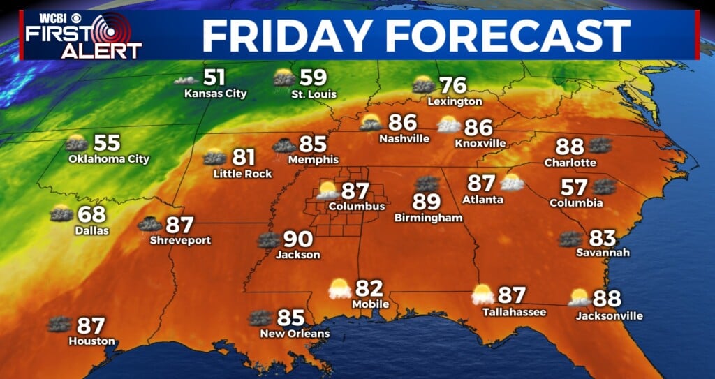
COLUMBUS – SUMMARY: A severe threat Wednesday evening punctuates a wild week a weather. More storms Saturday accompanying a cold front bring significant rain chances to the area along with frosty arctic air. Mild temperatures in the 70s will be replaced with highs in the 30s and 40s to start next week.
WEDNESDAY: Mild temperatures throughout the day but the big story is the afternoon severe threat. At the moment there is a large window for the occurrence of severe thunderstorms, which could form as early as lunch time. The primary threat will be high winds and flash flooding, but hail and the odd tornado spin-up cannot be discounted. Coverage across the area looks to be scattered, although not all storms will be severe. We will continue to provide updates as the situation evolves.
THURSDAY: Thursday will be comparatively mundane, with mild temperatures capping off in the low 70s in the afternoon. Showers are a possibility Thursday, although coverage will be light. Lows bottom out in the mid to high-60s overnight.
REST OF THE WEEK: Rain chances continue to hang onto the forecast until Saturday, when a cold front will bring storms back to the area. The biggest impact over the weekend will be the chilly air that will move in with the passage of the front. Highs will take a dramatic drop down into the high 30s to low 40s to start off next week. The good news is that the skies dry up and clear up starting Monday.


