Tracking Francine
COLUMBUS, Mississippi (WCBI) – Francine continues to work northward, bringing heavy rain and gusty winds through our Thursday. Gradual clearing of the rain should start by this afternoon from south to north. Remnant moisture from Francine will continue to give us chances of showers into the weekend.


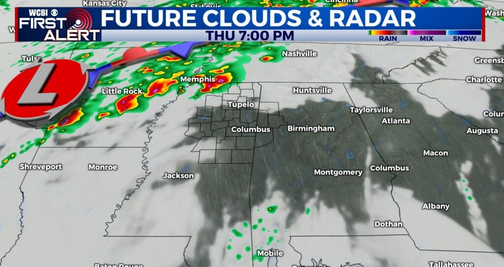
TODAY: Tropical Storm Francine continues it’s slow pace northeast at around 12 MPH per the 4 AM advisory from the National Hurricane Center. Conditions will deteriorate through the morning hours as the center tracks closer to us, somewhat paralleling I-55. Expect sustained winds between 20-30 MPH with gusts of 40+ MPH, and between 2-4 inches of rain. Some local amounts of up to 6 inches are possible. The rain will add up quickly, potentially making it hard for the ground to keep up, leading to some flooding concerns especially in urban areas. Any strong wind gusts could pose a threat of causing damage to trees and homes, as well as spurring power outages. Additionally, there is a tornado risk for our area, so keep an eye out for any warnings. Tropical systems have a habit of dropping quick spin up tornadoes. Overall, temperatures will be muted today, with highs in the mid 70s and abundant cloud cover.
TONIGHT: As we work into the afternoon and evening we should see gradual clearing. From south to north rain will start to clear away, but the winds may hang on a bit longer into the evening and overnight hours. Overnight temps won’t drop much at all, with lows in the upper 60s. A resurgence in rain and wind appears possible in the early morning hours, and will bring with it a risk of tornadoes. This band should clear out by midday Friday.