Threat for damaging winds and flooding define a busy Wednesday
COLUMBUS – SUMMARY: The chance for damaging winds and flash flooding are the primary threats for Wednesday afternoon’s severe threat, although the odd tornado is a real possibility. Rain chances drop off after Wednesday and stay relatively quiet until Saturday when a strong cold front will move through the area. Skies will clear up and temperatures will drop off afterwards, dipping down into the 30s and 40s for the highs.
WEDNESDAY: Large quantities of rain have already fallen across portions of Northern Mississippi, resulting in flash flooding for some areas. This trend of steady rain should continue as our severe window opens around lunchtime today. In addition to flash flooding, high winds and the brief tornado are additional threats posed this afternoon. Coverage is likely to be scattered with the severe storms mixed in. As always be sure to monitor WCBI Weather and other credible media to stay weather aware.
THURSDAY: Rain chances diminish rapidly Thursday with only the odd shower being a possibility. Temperatures remain consistent in the mid to low-70s in the afternoon, dipping down into the low 60s overnight. The skies will be mostly cloudy throughout the day.
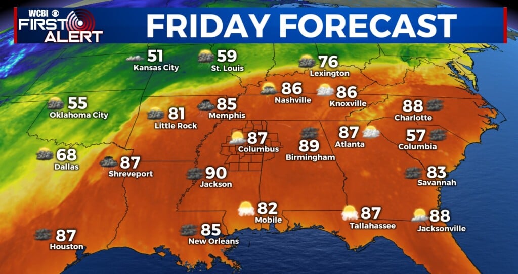
REST OF THE WEEK: The good news is that until Saturday the rain chances stay away somewhat. A robust cold front Saturday will bring thunderstorms back to the area with the potential for some severe weather once again. Frigid temperatures will accompany the front, dropping highs down into the 30s and 40s and lows into the mid 20s. The beginning of next week is looking dry.


