The summer heat and humidity continues
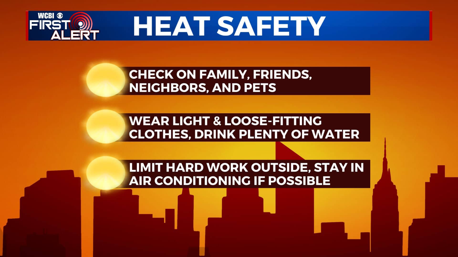
SUMMARY: It’s going to be staying very hot and humid over the next week. Heat indices will be in the 100°-110° range so you’ll need to take precautions if you will be spending time outdoors. A few pop-up afternoon storms chances will return to the forecast late week into the upcoming weekend.
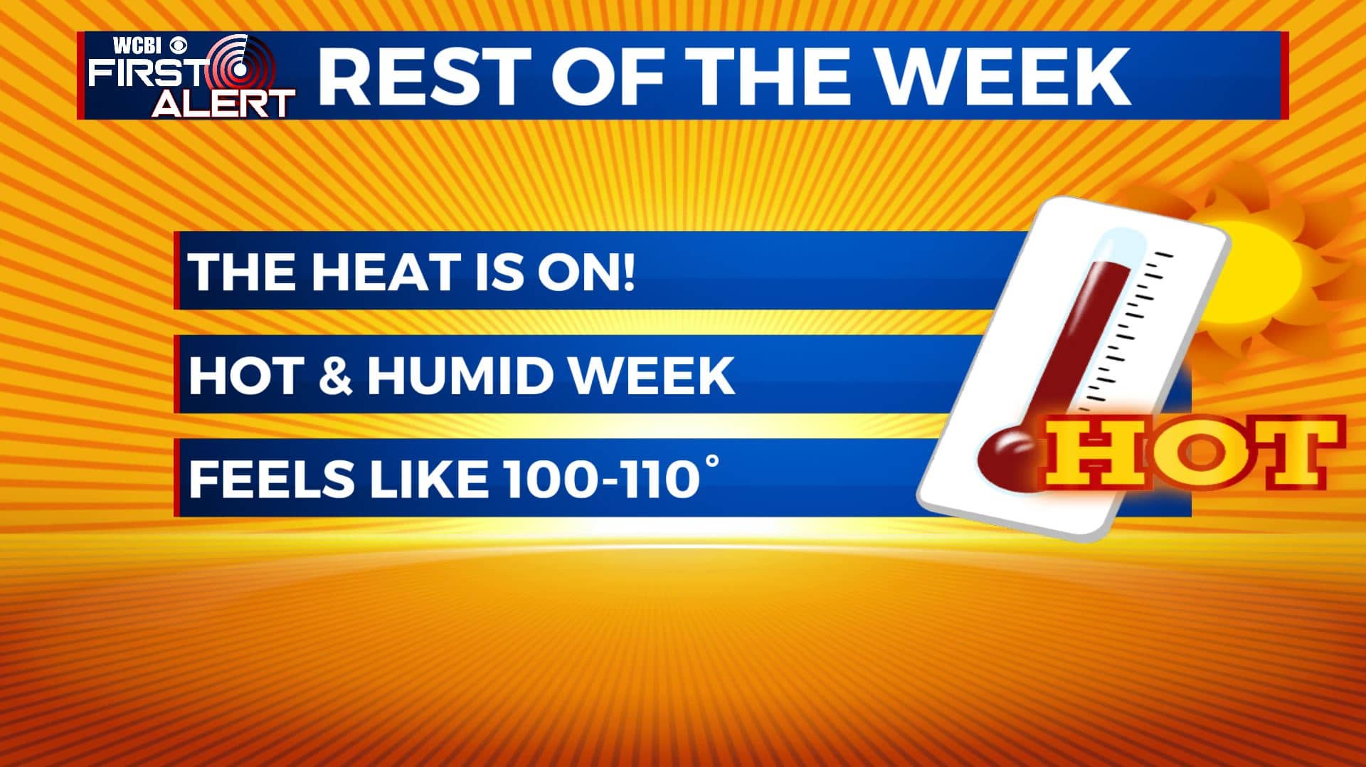
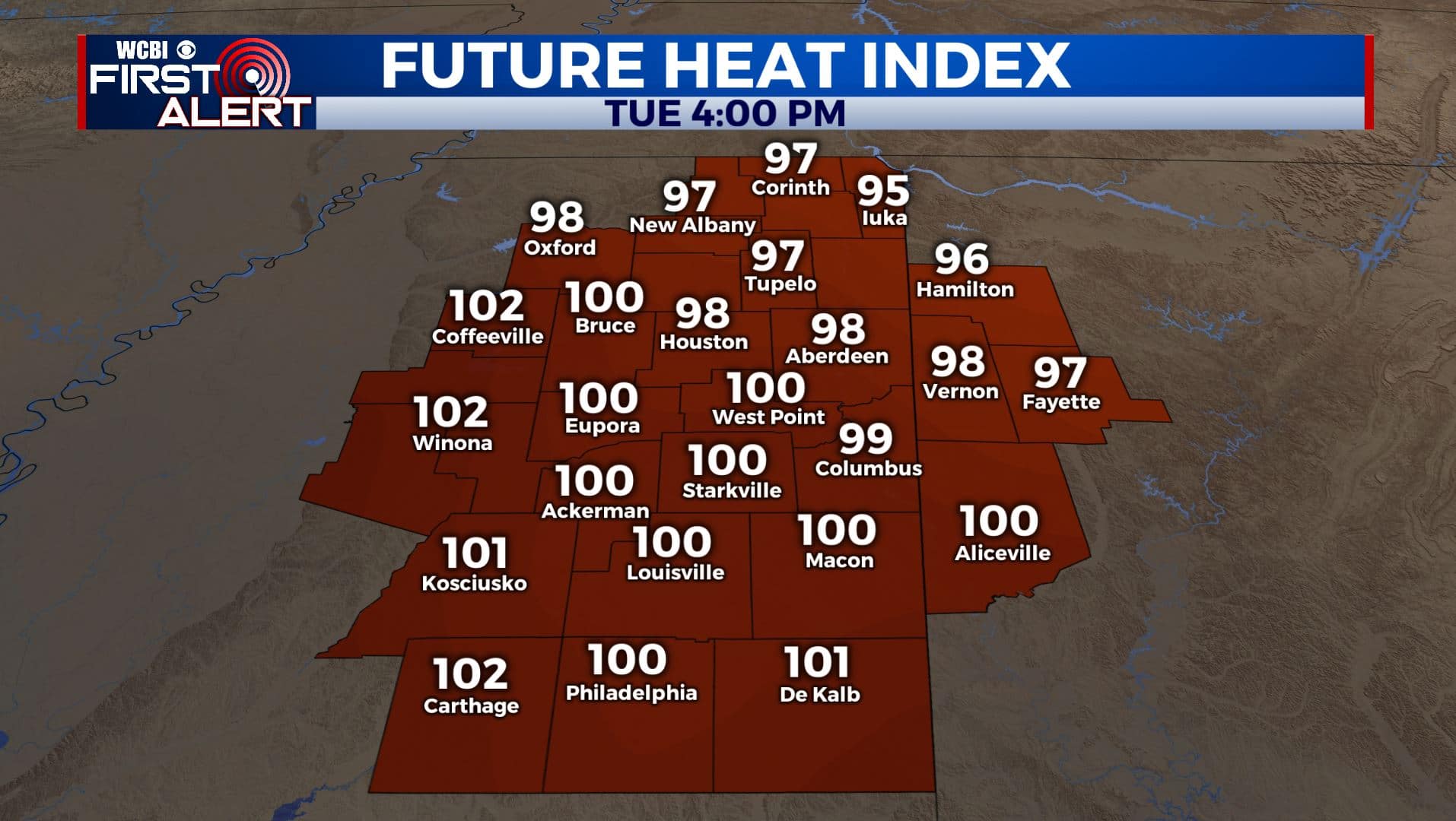
TUESDAY: Some of us could once again deal with some mist and patchy fog this Tuesday morning, but it will be another dry one with mostly sunny skies. The summer heat & humidity continues with highs in the mid 90s. Heat indices around 100°. Light SE winds.
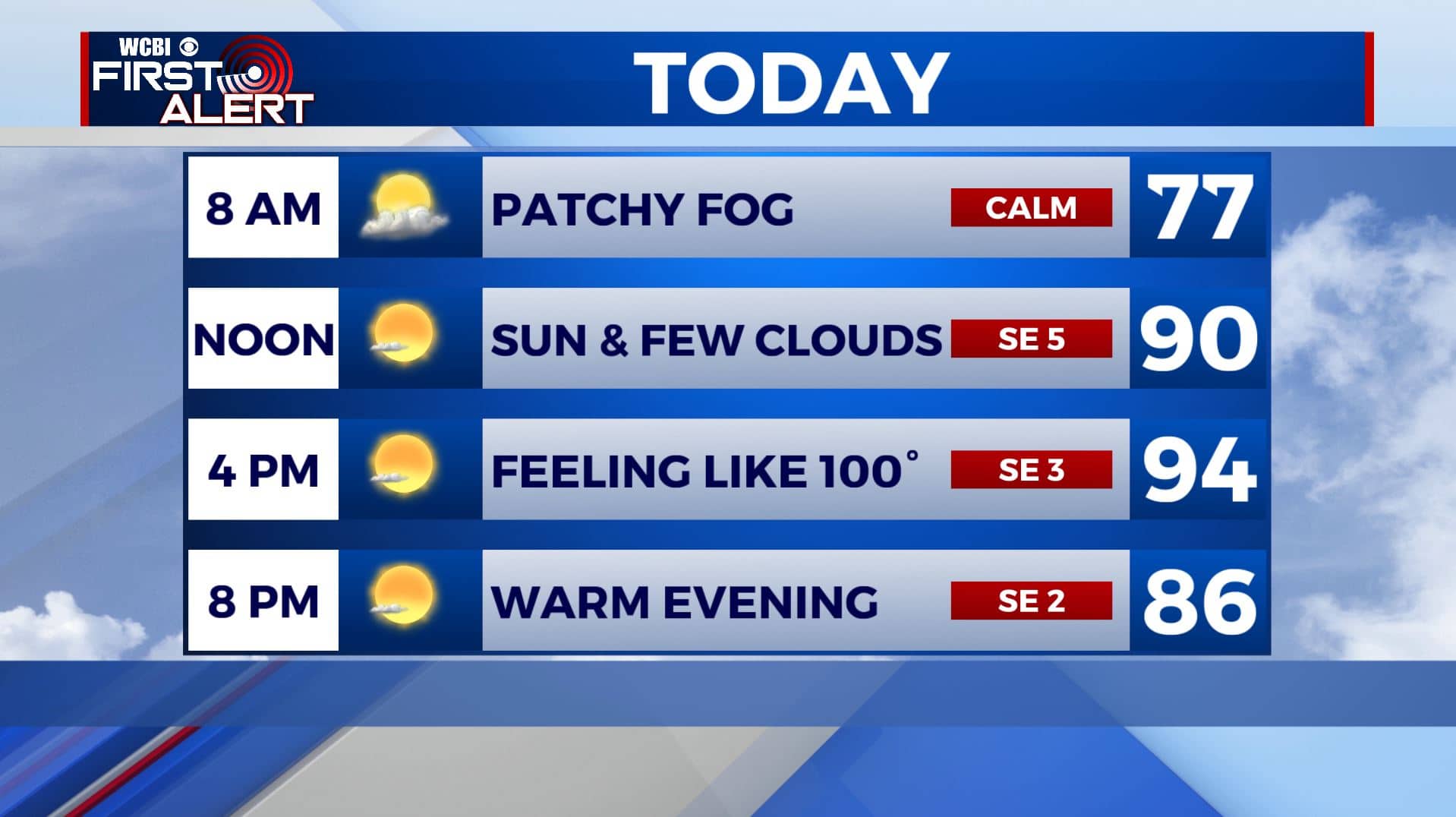
TUESDAY NIGHT: Mostly clear and muggy. Overnight lows in the low to mid 70s.
WEDNESDAY-THURSDAY: We’ll bump rain chances up to an isolated chance on Wednesday, then a bit scattered on Thursday. Not everyone will see a shower or storm. That will allow temperatures to rise to the mid 90s. With higher humidity levels, heat index values will approach 105-110. Overnight lows will be in the mid 70s.
FRIDAY-MONDAY: A scattered shower or storm is still possible for the weekend. We’ll remain hot and humid with highs in the mid 90s. With heat index values approaching 110 in the afternoon. You’ll need to take extra precautions if you plan to be outside for an extended period of time. Stay cool & hydrated!
Stay connected with @WCBIWEATHER on Facebook, Twitter, Instagram, and the WCBI News App


Leave a Reply