Sunshine & cooler temperatures return in time for Halloween weekend
SUMMARY: Sunny, quiet and seasonable fall weather is coming back and just in time for Halloween & the weekend. We have no rain in the forecast for at least the next week. A second cold front will push through on Sunday evening. A frost or light freeze is possible Monday morning and Tuesday morning as overnight lows fall to the 30s.
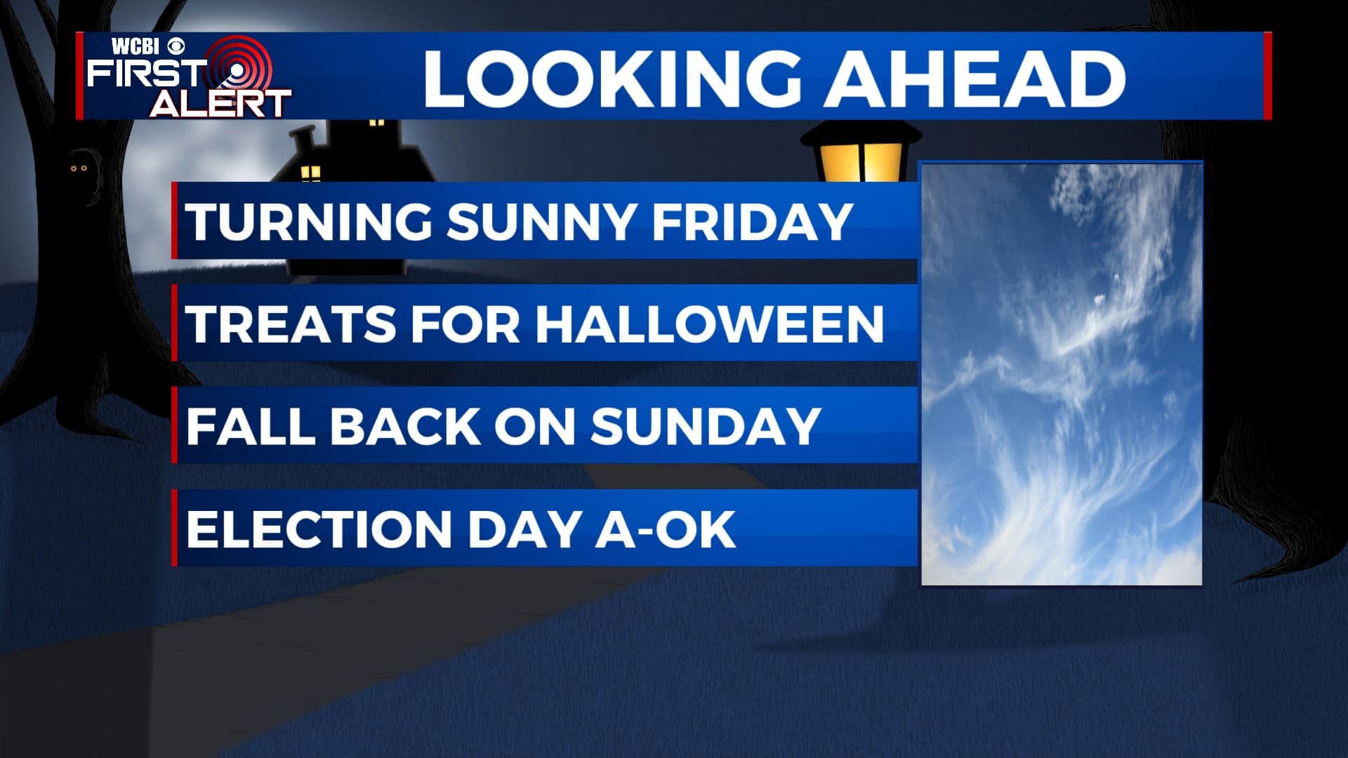
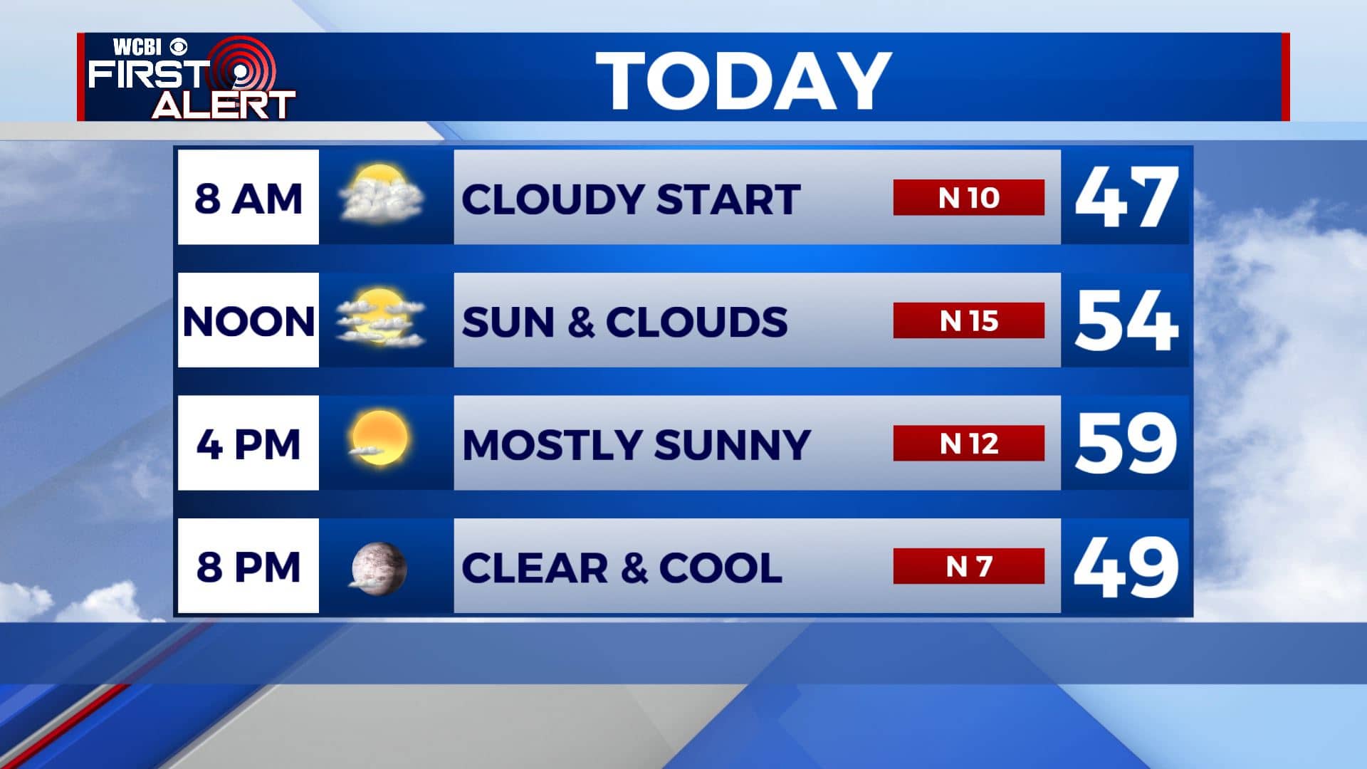
FRIDAY: Mostly cloudy skies to start your Friday with chilly temperatures in the 40s. We’ll see the sunshine to return by the afternoon. Highs in the upper 50s to around 60. Winds N 10-15 mph. Coats & jackets are needed if you are heading out to those high school football games this evening. Temperatures will start in the lower 50s then go down to 40s by the fourth quarter.
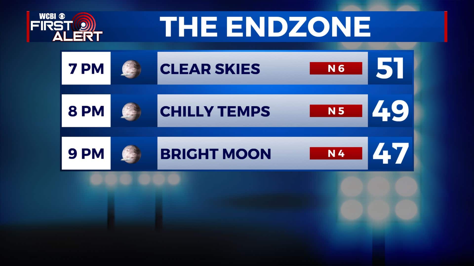
FRIDAY NIGHT: Mostly clear skies and chilly. Overnight lows around 40.
HALLOWEEN: No tricks, just treats. It will be boo-tiful which is good news for any Halloween plans you may have. Mostly sunny skies with highs in the upper 60s, some spots could hit 70. Early evening temperatures around 60 can be expected for those little ghosts and goblins that may venture out.
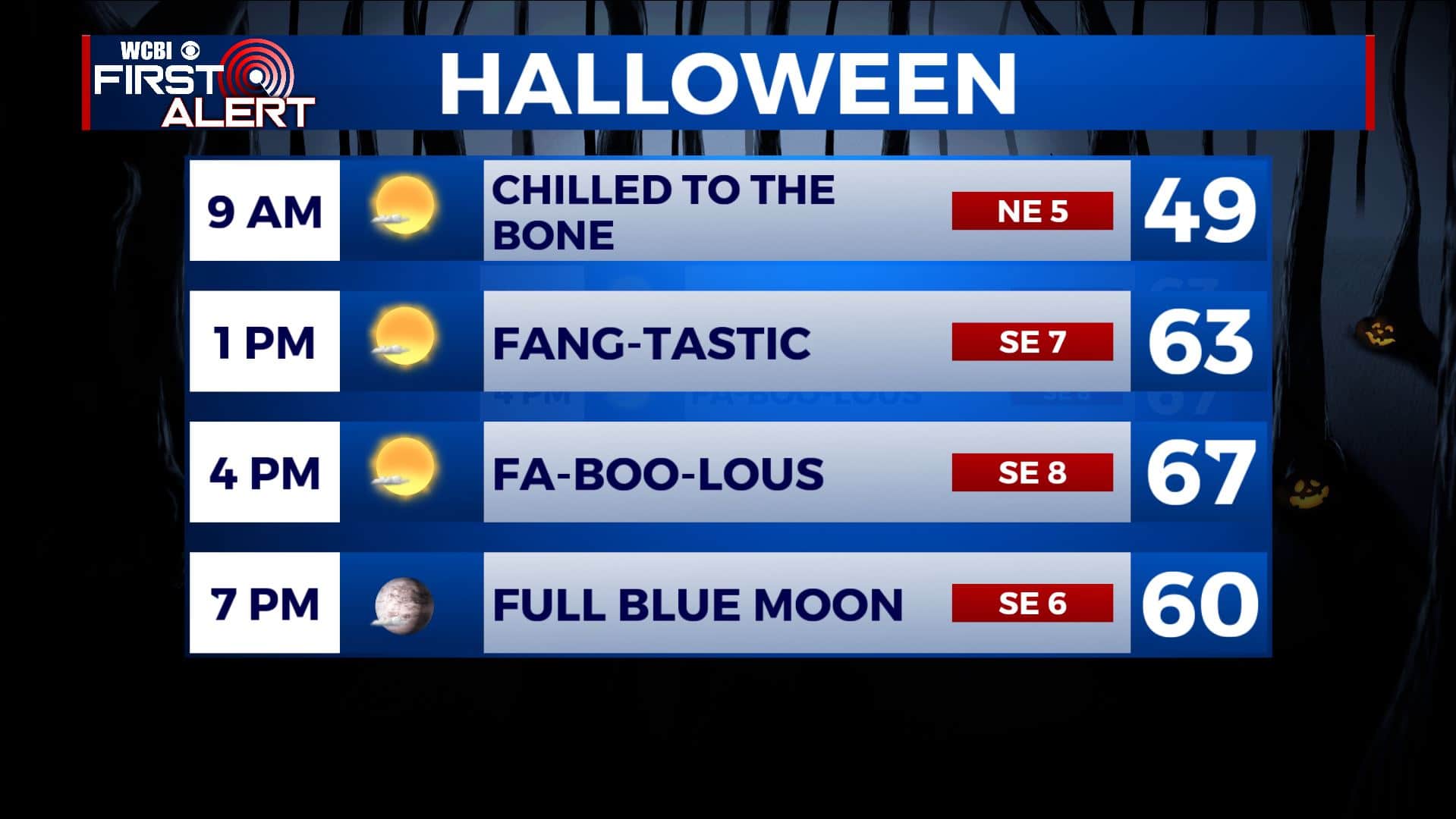
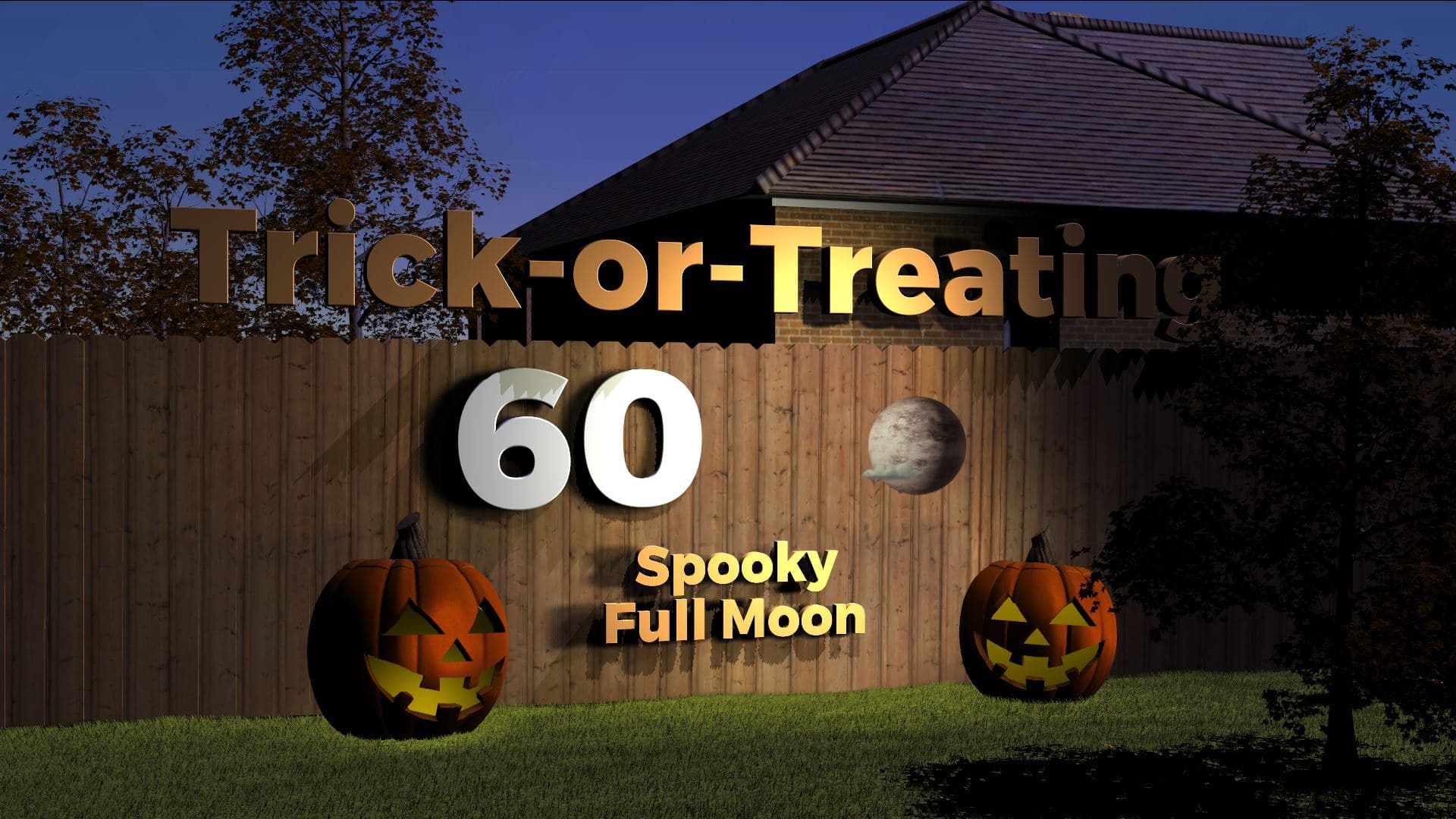
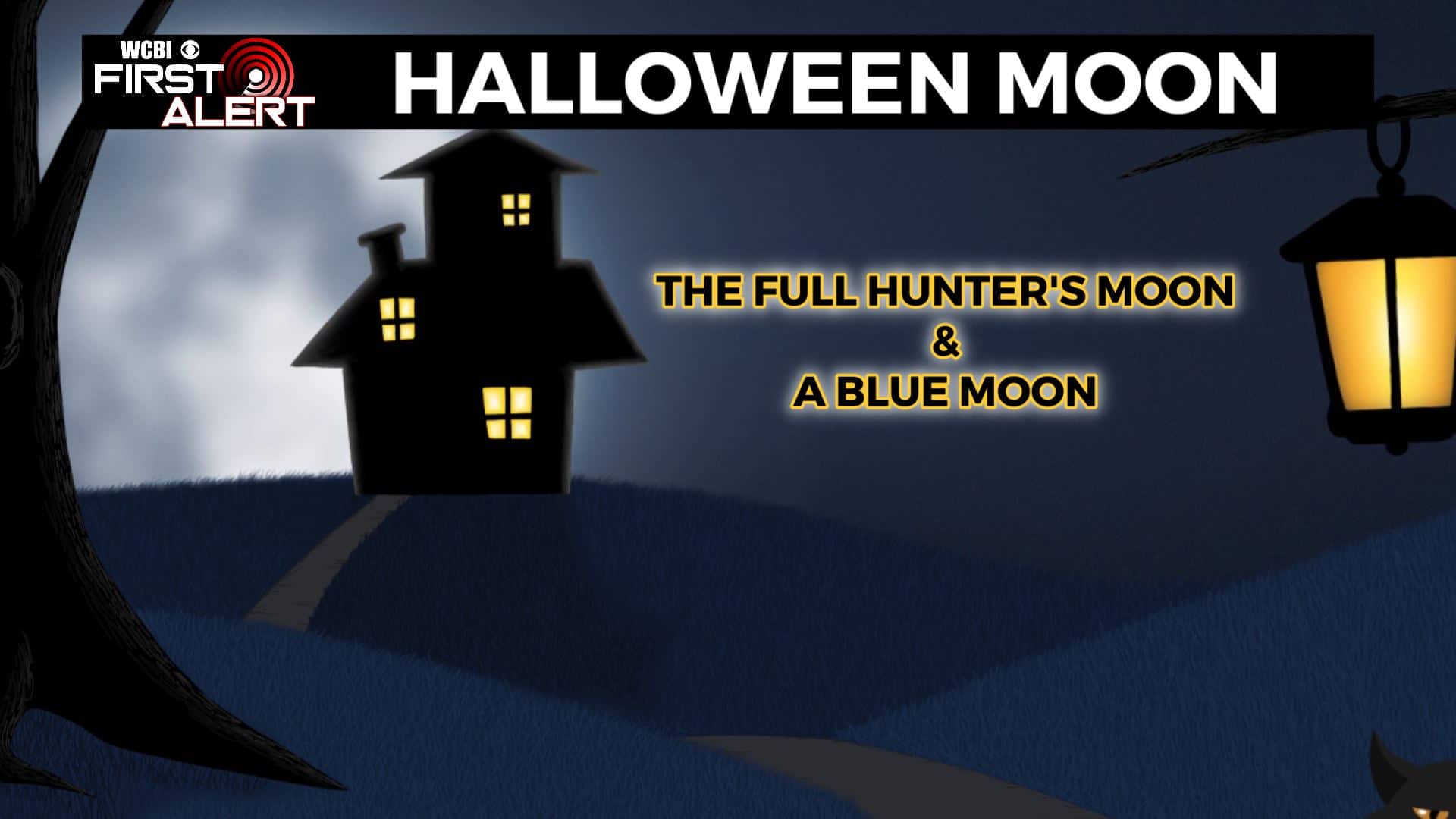
SATURDAY NIGHT: Clear skies and quiet. Don’t forget we have a full blue moon on Halloween night. Overnight lows in the upper 40s. Reminder that we also fall back one hour 2am Sunday as Daylight Savings Time ends.
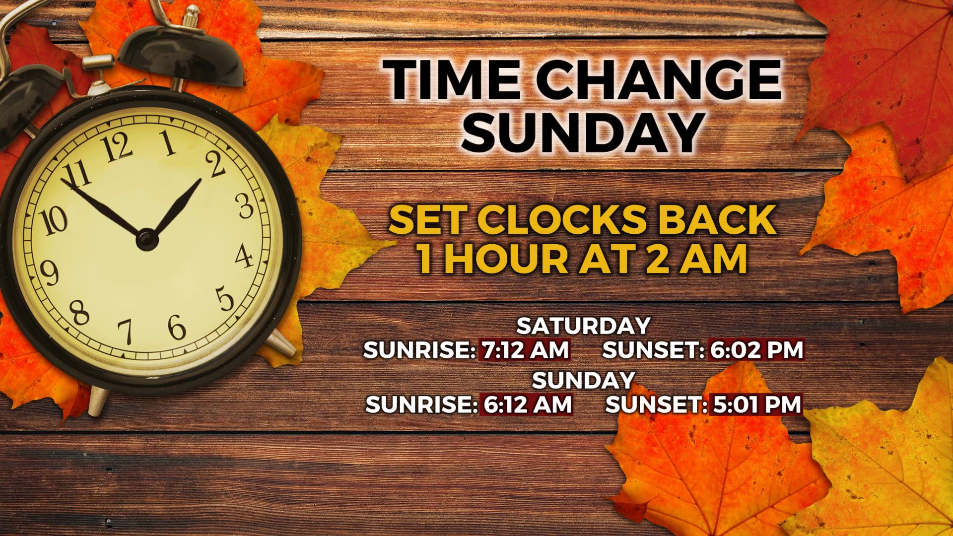
SUNDAY: Mostly sunny skies. Highs in the upper 60s. Another cold front is set to push through here Sunday evening, bringing us another shot of cooler fall-like air.
SUNDAY NIGHT: Clear skies and chilly. A frost or light freeze is possible. Overnight lows in the 30s.
MONDAY: Sunny & cool. Highs in the upper 50s.
MONDAY NIGHT: Clear and chilly. A frost or light freeze is possible. Overnight lows in the 30s.
ELECTION DAY: Sunny skies as you head to the polls. Highs in the mid 60s.
Stay connected with @WCBIWEATHER on Facebook, Twitter, Instagram, and the WCBI News App


Leave a Reply