The Sun and Warmth Is Coming Back!
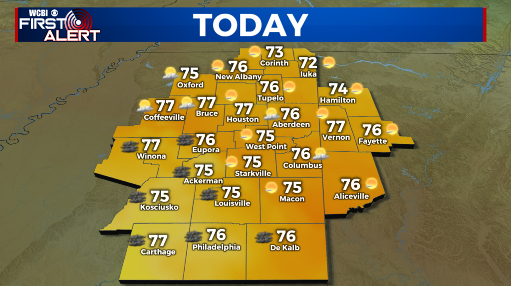
MONDAY: This will be a “Chamber of Commerce” type day! That means plenty of sun, low humidity, and comfortable highs in the mid to upper 70s.
TUESDAY: Warmer again with lots of sun and highs in the low to mid 80s.
WEDNESDAY: Plenty of sunshine during the day with highs in the low to mid 80s, but we’ll be watching a frontal system that pushes this way. The highest chance for strong storms will be to our west, and as it moves through it could bring us some showers and thunderstorms late Wednesday Night into Thursday Morning. We’ll have to see how the storms advance and move in our direction as well as how quickly the system moves across the Great Plains on its way here.
THURSDAY: Could be some scattered thunderstorms on Thursday Morning, but things should dry out by the afternoon. There is a small chance that there could be a strong one or two, but we think that the storms will be decaying as it slides across our region. Stay with us on any threats that might grow from this. Temps will jump in the mid to upper 80s. It will also be muggy with dewpoints pushing towards 70!
FRIDAY – NEXT WEEKEND: Two words; Hot and Muggy. We’ll push temperatures in the upper 80s and perhaps low 90s in a few spots with lots of moisture. That will make it feel hot and humid. We’ll also keep our eyes on another storm system that moves in Sunday into Monday. We’ll keep you up-to-date with the first alert.
SEND US YOUR WEATHER PICTURES TO @WCBIWEATHER ON FACEBOOK, TWITTER AND INSTAGRAM.


Leave a Reply