Summertime rain and storm chances are making a comeback
SUMMARY: Scattered showers or storms are once again possible on Wednesday. The highest odds and coverage of rain & storms should come Thursday & Friday. Humidity levels will increase once again heading into the weekend. Highs in the upper 80s to lower 90s. We continue to monitor two tropical waves that could have some impact on the Southeast in the next week or so.
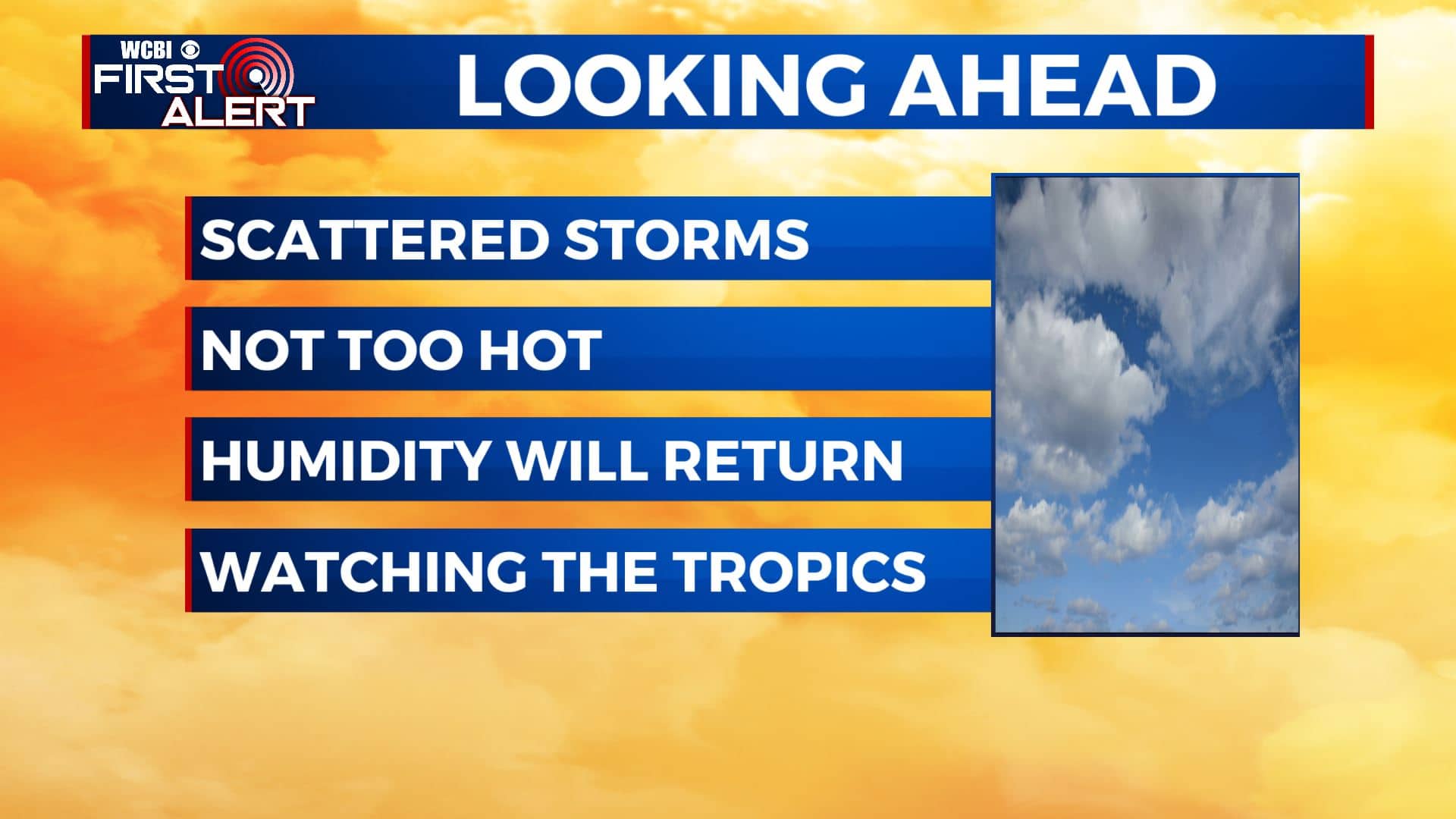
WEDNESDAY: It’s a quiet & nice start to our Wednesday with a few clouds out there. A few scattered showers or storms are possible in the afternoon with a mix of sun & clouds. Temperatures not too hot with highs in the upper 80s. Still not too humid thanks to winds coming in from NNW light.
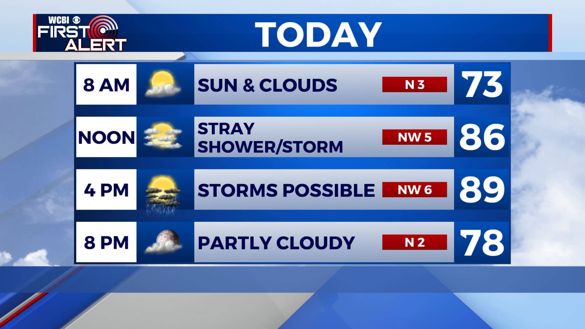
WEDNESDAY NIGHT: Mostly clear to partly cloudy. Lows in the mid to upper 60s. Calm winds.
THURSDAY-FRIDAY: Mostly cloudy. Warm with highs in the upper 80s. Good chances of showers and storms are possible each day. Overnight lows in the upper 60s.
SATURDAY: A mix of sun & clouds with scatted chances of showers and storms. Very warm with highs around 90 and the humidity makes a comeback.
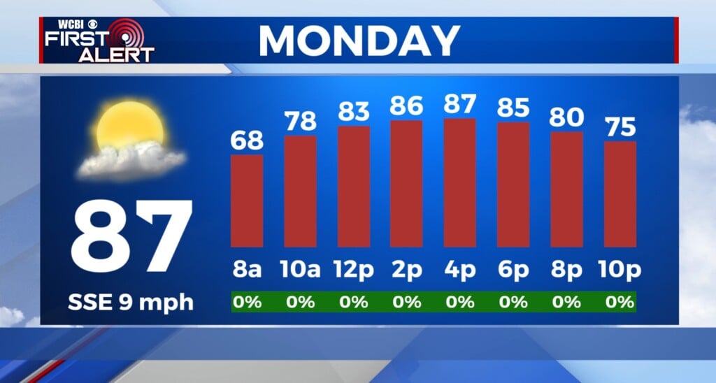
SUNDAY-MONDAY: Sun & clouds. A few isolated showers or t-showers can’t be totally ruled out. Highs into the lower to mid 90s with overnight lows in the low 70s.
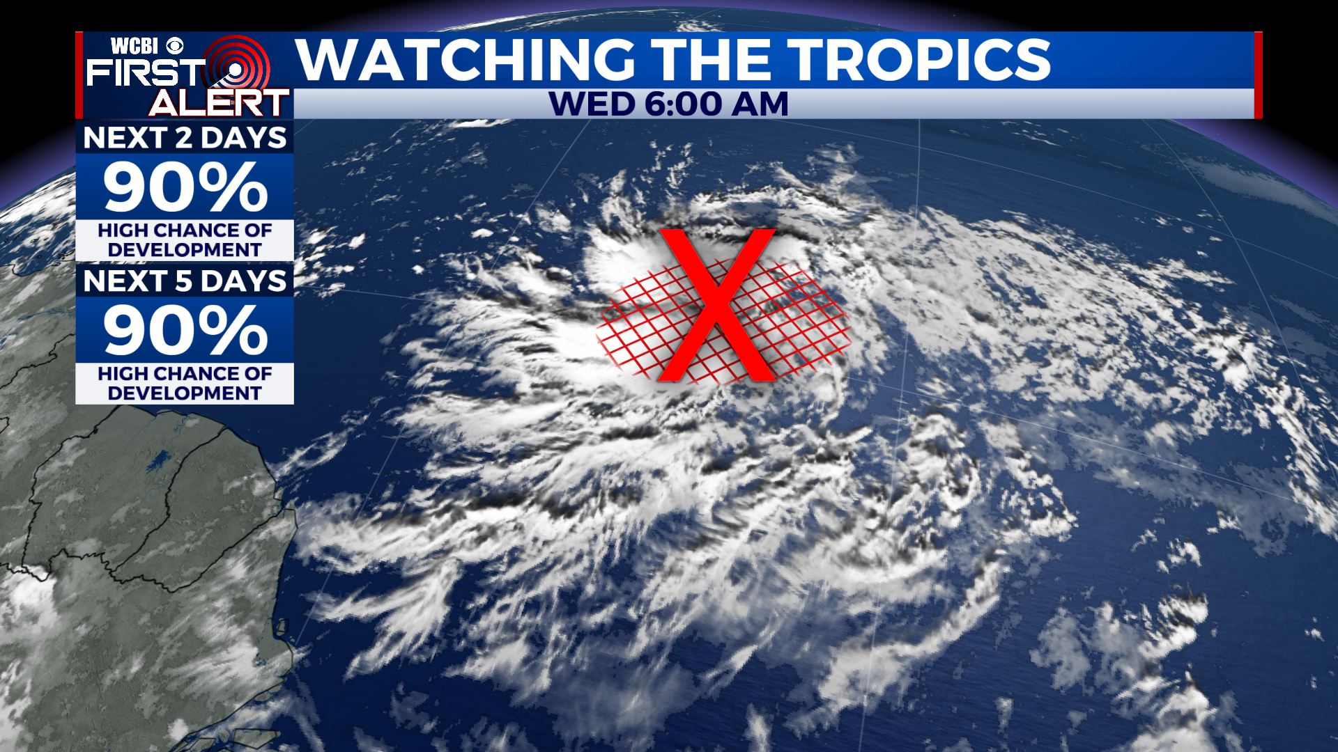
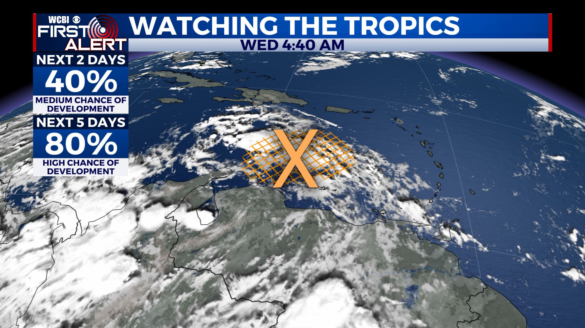
TROPICS: There are still two tropical waves that need to be watched closely. One is moving through the eastern Caribbean Sea and another one is out in the open Atlantic. They will most likely become Laura and Marco as they both have a good chance of development over the coming days.
Stay connected with @WCBIWEATHER on Facebook, Twitter, Instagram, and the WCBI News App


Leave a Reply