Summertime heat and afternoon showers to start the week
Hot temps and isolated showers expected for the next two days.
COLUMBUS, Mississippi (WCBI)- Hot and muggy weather is sticking around with us to start the work week. Daily, afternoon chances to see a few scattered showers and thunderstorms are here for the week ahead with the best chance to see meaningful rainfall by midweek. Temperatures become more seasonable by the end of the week.
TONIGHT: A few of us saw some rain earlier this afternoon and evening which was good! Showers should clear out for the night, leaving us with a partly cloudy sky and some extra humidity. Temperatures will be pretty warm, falling in the mid 70s tonight.

TOMORROW: Another hot day tomorrow! Highs will be in the upper 90s, but with the increase in humidity, feels like temperatures could be in the triple digits by the afternoon. A few counties could see a pop up shower or thunderstorm in the afternoon, especially south of US-82. Besides the occasional afternoon shower, most of us will remain partly cloudy.
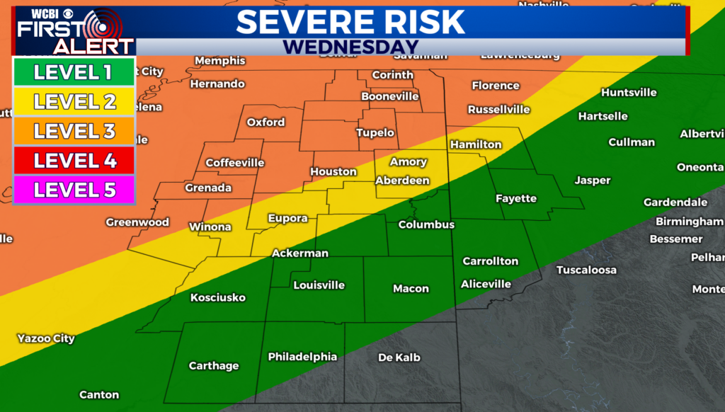
THE WEEK AHEAD: Rain chances stick around for the rest of the week. A weak cold front will pass us sometime Wednesday into Thursday, and those two days look to be best as far as meaningful rainfall which we desperately need. Most of Northeast Mississippi is experiencing drought like conditions, and some of us are even in a severe to moderate drought. We will take any rainfall we can get! After the front passes, temperatures will become more seasonable and even below normal with highs in the upper 80s by the week’s end.