Strong storms possible tonight, breezy & mild New Year’s Day
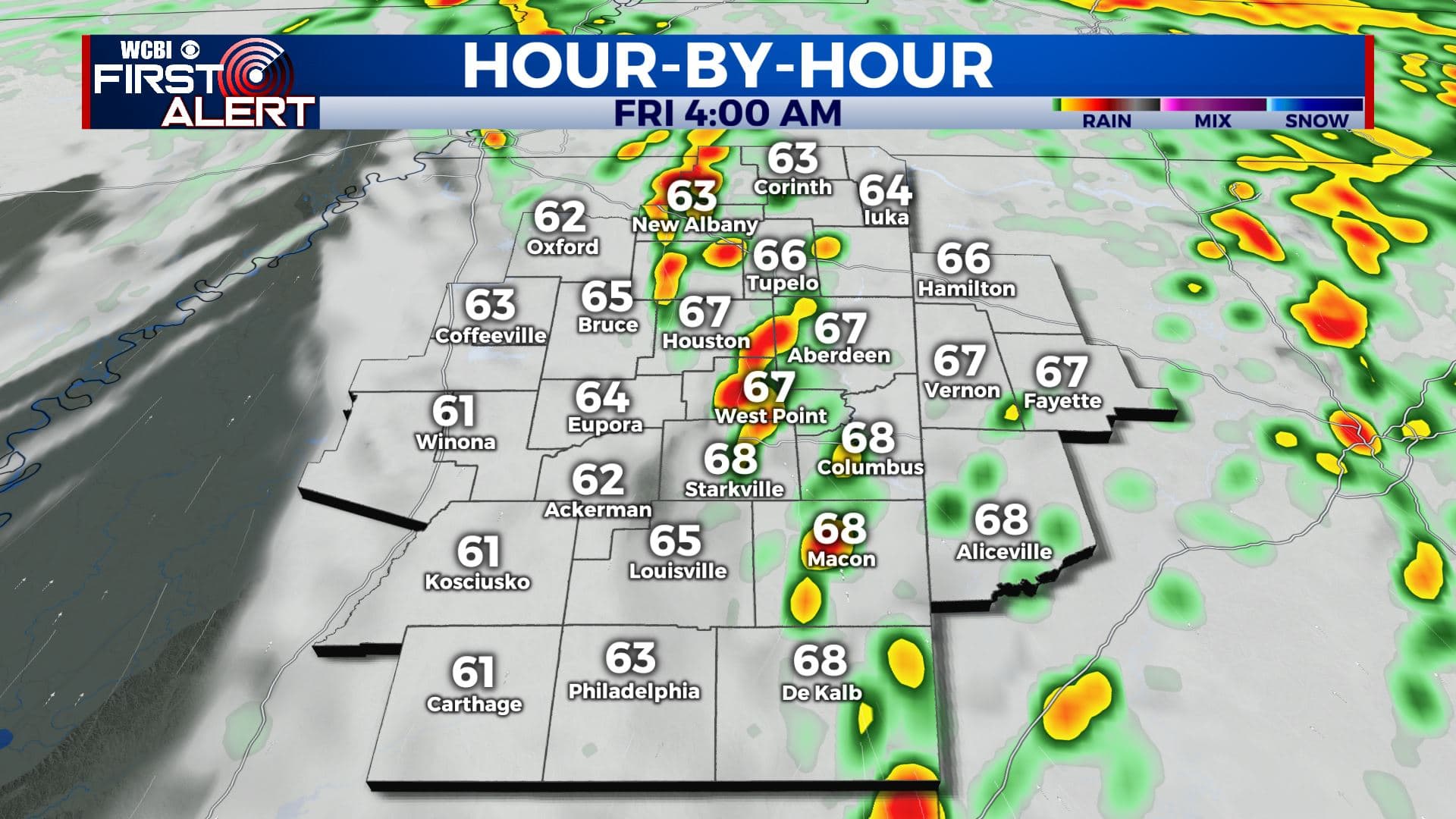
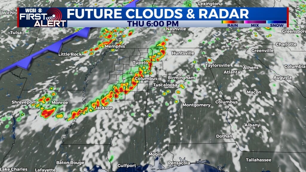
THURSDAY NIGHT: Rain and storms, some strong or severe. Damaging wind gusts are the main concern but an isolated tornado can’t be ruled out. It’s worth nothing that the highest odds of tornado activity still appear to be across central and southern MS & AL. The active weather threat should end by 6 or 7 a.m. Look for temperatures to rise into the mid 60s by sunrise Friday. Breezy SSE winds 10-25 mph with some gusts over 30 mph possible. Additional rainfall of 1/3” to over 1″.
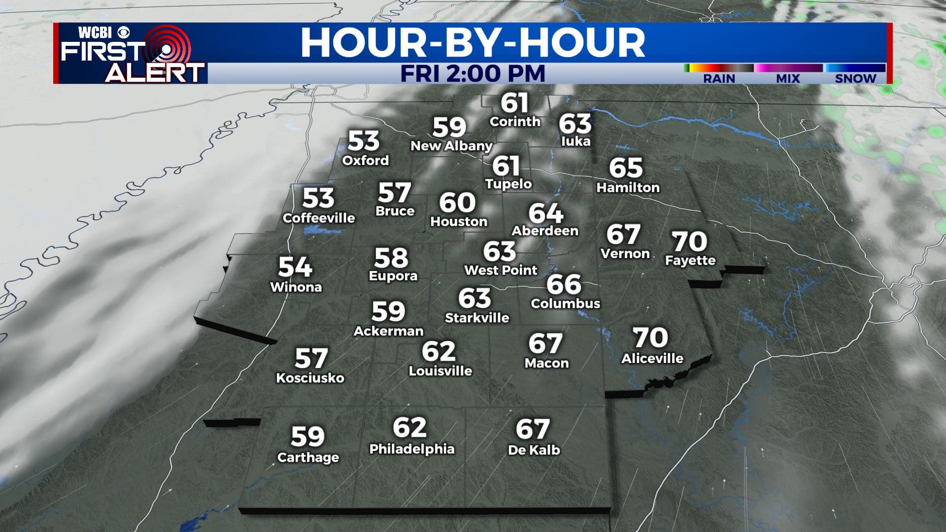
NEW YEAR’S DAY: Gradual clearing after early morning rain. Partly cloudy skies and breezy during the late morning and afternoon. SW winds 10-25 mph with gusts over 30 mph possible. Mild highs in the mid to upper 60s but a few low 70s could also occur across our eastern counties and into Alabama.
FRIDAY NIGHT: Partly to mostly cloudy. Cooler lows in the low 40s. Lighter winds.
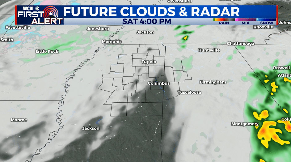
SATURDAY: Mostly cloudy. Highs ranging from the upper 40s to lower 50s. Just a slight chance of a few showers with an upper disturbance crossing the region.
SATURDAY NIGHT: Mostly cloudy. Lows in the mid 30s.
SUNDAY: Partly cloudy. Highs in the low 50s.
MONDAY & TUESDAY: Mostly sunny. Highs in the low 60s.
Follow @WCBIWEATHER on Facebook, Twitter, Instagram, and the WCBI News App


Leave a Reply