Storms continue through next week
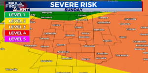
COLUMBUS, Mississippi (WCBI) – A strong line of thunderstorms will push into the area for Sunday night. These storms could possibly be on the strong to severe side with more fuel. A break from the rain for tomorrow before storms continue through next week.
TONIGHT – The Storm Prediction Center has issued a level 3 out of 5 risk for the storms making their way into our viewing area. These storms have gained more fuel this evening from the daytime heating, so they are likely to be on the strong to severe side. The main threat with these storms are heavy rainfall, hail, and strong winds. Most of the severe weather should be out of the area by midnight tonight.
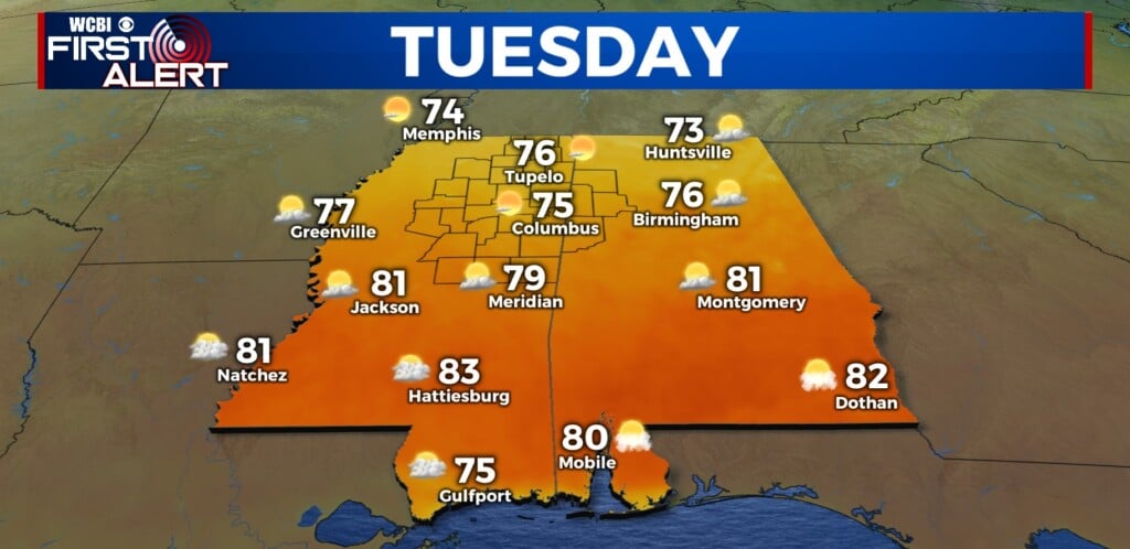
TOMORROW – We will have a short break from the rain and storms on Monday with mostly sunny skies. There is a slim possibility of a small shower or two, but for most of us we will stay dry. It will be another hot and humid day tomorrow as temperatures climb into the mid 80s.
NEXT WEEK – The rain and storms will stick around for the most part of next week and temperatures will stay in the mid to upper 80s.


