Slightly cooler Sunday
COLUMBUS, Mississippi (WCBI)- A cold front passing through Saturday night will offer us some brief relief from the abnormally hot days we’ve had. Outside of a rouge shower chance Sunday, conditions look dry and temperatures rebound into the mid 80s until another front on Halloween.
TONIGHT: Some portions of our area may actually see a little rain! Spotty showers will be possible overnight especially for northern portions of the area. Otherwise, it’ll be dry and mild for us, with low temps above average into the upper 50s.
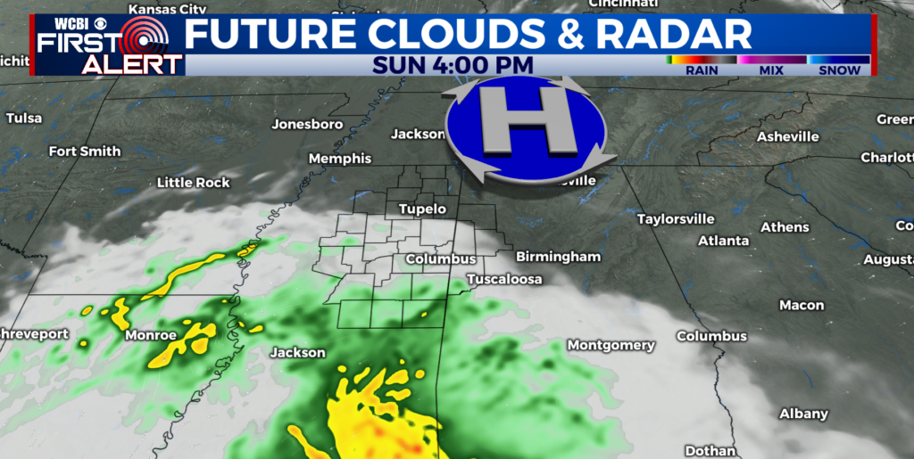
SUNDAY: Outside of a rouge shower, a dry and mostly sunny day is ahead. Thanks to a cold front is passing through Sat. PM, we will see high temperatures take a slight step back into the low 80s, though we are still well above average. Winds will be light from the NNW. Sunday night that outside shower chance will end, and we will be left with partly cloudy skies and another mild night with temps in the upper 50s.
START OF THE WEEK: For Monday, temperatures will bounce back into the middle 80s, and that warm weather will be right back where it left off. High temperatures for the first half of the week will be 10-15 degrees above average, in the mid 80s. Overnight lows will be in the low 60s, about 15 degrees above average.

HALLOWEEN: Looks like our next weather-maker will arrive on Halloween in the form of another cold front. This time, it looks like there should be plenty of moisture for some rainfall Thursday into Friday. The models still have some disagreements on timing and rain coverage, but plan for the possibility of scattered rain and maybe a thunderstorm as you Trick or Treat.