Severe storms Saturday night
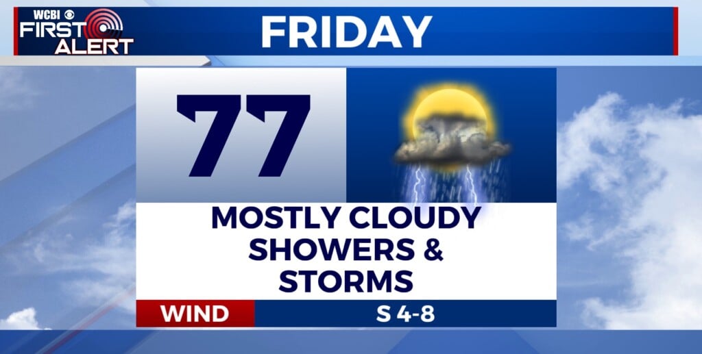
COLUMBUS, Mississippi (WCBI) – Severe storms capable of all hazards including tornadoes are pushing through the southeast. Northeast Mississippi is square in the heart of the risk through late tonight.
THIS EVENING: Storms will develop and push to the northeast. The atmosphere is very unstable and there is a lot of wind shear present, which will work to promote severe storms. They will be able to produce tornadoes, some of which being strong, large hail, and damaging winds as they trek through our area. Areas around and south of US-82 have the highest risk of severe weather, but areas north of that still have a considerable risk. Have multiple ways to receive warnings, and have a severe weather action plan in place for if a warning is issued. After midnight, the threat should die out quickly for us. Once the cold front pushes through we will be in the clear as far as severe weather, and should steadily dry out.
Continue to stay weather aware!


