Seasonal Pattern For Rest Of Week
TODAY: We get back into a more typical summertime pattern starting today and lasting through the next 7 days. A bit of patchy fog is possible this morning, but most of it should mix out by around 8 am. Highs in the low 90s today, with heat index values from around 100° to around 105°. Limit strenuous outdoor activity in the afternoon, take plenty of breaks from the heat, and stay hydrated. A few afternoon storms will be possible. Rain chance around 30%.
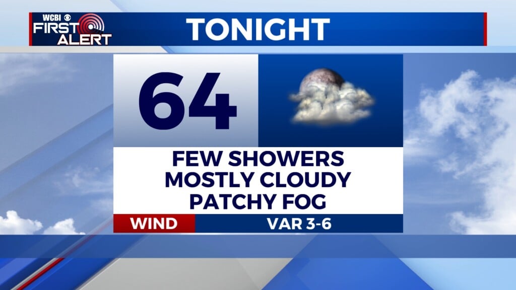
TONIGHT: Variably cloudy and humid, with lows in the mid 70s.
THU/FRI/SAT/SUN: The summer pattern continues through the rest of this week. Highs in the low 90s, and very humid leading to heat index values from around 100° to around 105° in the afternoon. Some spots will see some relief each afternoon in the form of a few scattered thunderstorms. Chance of rain will remain around 30%. We will have to keep an eye on the tropics over the next 7 to 10 days as well, as there are several tropical waves in the main development region of the Atlantic capable of development over the next week or two. For now, we watch and wait.
MONDAY: The summer pattern continues for the partial eclipse on Monday. Expect variably cloudy conditions and a few scattered thunderstorms, so some spots may have a great view, and others may not.

Eclipse Special


Leave a Reply