Refreshing Memorial day weekend, storms return next week
SUMMARY: The cold front that brought some of us some showers and storms today will sweep through the area into the evening, bringing in much cooler and drier air, setting up a very refreshing Memorial day weekend! Highs in the 70s and lows in the 50s through Sunday. Next week, the heat and humidity makes a return, and we are back in the upper 80s by Tuesday. Storm chances return for the latter half of the week.
TONIGHT: Partly cloudy skies early in the overnight, with NW winds from 10-15mph. As we head into the early morning hours, some low clouds will build in to the area. Nice and cool and much drier, with lows in the mid 50s.
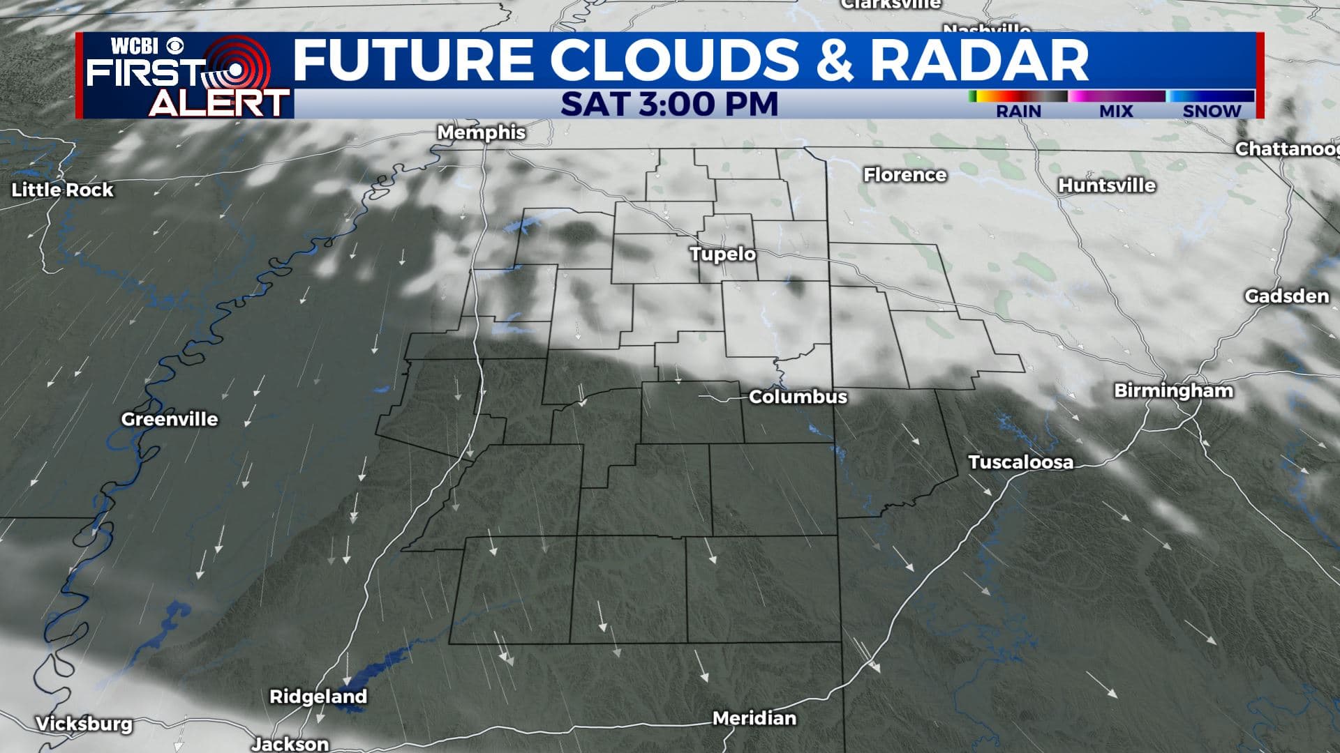
SATURDAY: Those low clouds will stick around through most of the day tomorrow, but breaks of sunshine are possible, and we expect the clouds to break up late in the day. Very cool for late May, highs only in the low 70s with a NW wind. Some of us may stay in the 60s!
SATURDAY NIGHT: Clouds clear out in the evening, and the wind will die down overnight as well. Unseasonably cool, with lows in the upper 40s to around 50 degrees for much of the area.
SUNDAY: Staying cool and dry for Sunday, with lots of sunshine. A “chamber of commerce” type day with highs only in the mid to upper 70s! Great day to get outside and enjoy.
SUNDAY NIGHT: Another very cool and dry night. With clear skies, very light winds, and dry air, expect temperatures to drop fairly quickly, and bottom out in the low 50s.
MEMORIAL DAY TO FRIDAY: Temperatures quickly rebound into the 80s for Monday, as expected this time of year. Should still be quite comfortable Monday though with the dry air in place. Humidity returns Tuesday, and is here to stay through the rest of the week. From Wednesday onward, we should see the return of that daily chance of afternoon showers and storms, with highs in the mid to upper 80s.
CONNECT WITH @WCBIWEATHER ON FACEBOOK, TWITTER AND INSTAGRAM


Leave a Reply