Rain & storm chances begin to increase for Tuesday
SUMMARY: Our active weather pattern will continue to pick up with increased chances of showers and storms the rest of the week. The combination of a weak front stalling to our north, tropical moisture to our south and some upper level energy will keep the chances going. Some storms may produce locally heavy rainfall, lightning and some gusty winds. The trade off with increased rain chances will be “cooler” summer highs in the 80s and less extreme heat indices.

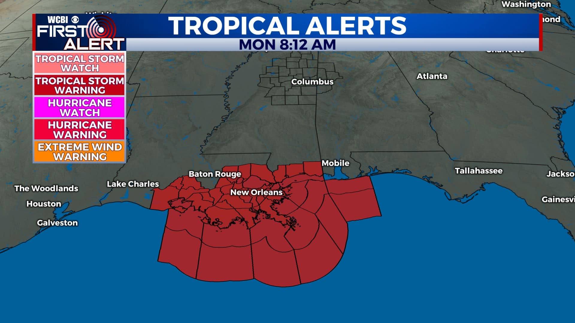
TROPICS: A tropical wave inn the eastern Atlantic may become the 9th named system for 2020 Isaias later this week. Recent models suggest any storm that forms would likely stay out of the Gulf of Mexico and away from our region but we’ll keep watching.
TUESDAY: Dealing with some misty & foggy conditions this Tuesday morning, should burn off by late morning. We’ll then see better chances of showers & thunderstorms into the afternoon. The cloud cover & the rain will help keep high temperatures in the upper 80s. S winds 5-10 mph.

TUESDAY NIGHT: Mostly cloudy skies after the chance of a shower or storm before midnight. Overnight lows will be in the mid 70s with a calm wind.
WEDNESDAY-FRIDAY: Rain & storms chances become more widespread mid to late week as a cold front will stall out to our north. Some storms could produce heavy rain and gusty winds at times. These increased rain chances mean our temperatures won’t be quite as hot, as temperatures will only reach the mid to upper 80s each afternoon. 1-2″ of rain is possible depending on if you get caught under several downpours through the week. We’re not looking at a complete washout all day as there will be some dry breaks, but just keep the umbrella & rain gear handy.

WEEKEND-MONDAY: The cold front looks to pass through the area Saturday, ending our rain chances for the most part. We’ll leave in a chance for pop-up scattered showers and storms just in case, but things look to trend drier. Highs remain in the mid to upper 80s so definitely some relief from the summer heat.
Stay connected with @WCBIWEATHER on Facebook, Twitter, Instagram, and the WCBI News App


Leave a Reply