A Picture Perfect Weekend!
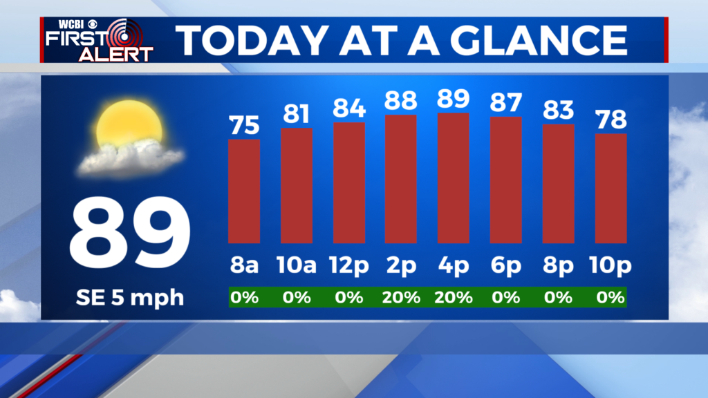
TODAY/SAT/SUN: If you like the sunshine and fall-like temperatures, the next few days will likely seem nearly perfect. Temperatures will hover near 80 degrees each afternoon and will drop down into the mid 50s each night. Skies will remain very clear and winds will stay out of the north keeping drier, more pleasant air in place. It’ll be perfect for football, bonfires, camping and almost anything else you can think about doing outside!
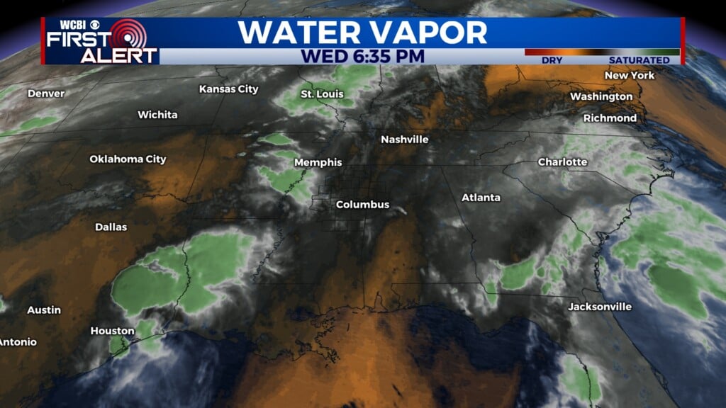
MON/TUE/WED: Some clouds may begin to develop in our area, but the mostly sunny skies will remain. Highs will remain in the upper 70s and low 80s. We have introduced low-end rain chances associated with the remnants of Irma for our area on Tuesday/Wednesday with the best chances in West Alabama. The good news is that since the center of the storm will be to our east, it will keep the threat for severe weather away from us.
TROPICS
Tropical activity is reaching its peak in the Atlantic. As of now there are 3 named hurricanes to keep track of. The largest US concern at the moment comes from category 4 Irma. Irma is in the Caribbean impacting areas such as Turks and Caicos as well as Cuba and will impact the US in the next few days. The Florida Keys as well as much of south Florida are expected to see major impacts, but other areas such as the Carolinas and the east coast could still see impacts. Here, at most we could see some light showers from Irma’s remnants on Tuesday/Wednesday, but the better chances stay in West Alabama. We’ll keep fine tuning those details in the coming days. Hurricane Katia is in the Gulf of Mexico but will head south back into Mexico and will not impact the US. Hurricane Jose is off to the east of Irma back in the Atlantic but is too far away to know about any specific future US impacts. Make sure to stay tuned for the latest.


Leave a Reply