MSU Storm Chase Recap Day 2
COLUMBUS, Mississippi (WCBI) – The storm chase group traveled from Winnie, TX, westward through the Lonestar state into the Concho Valley Tuesday afternoon.
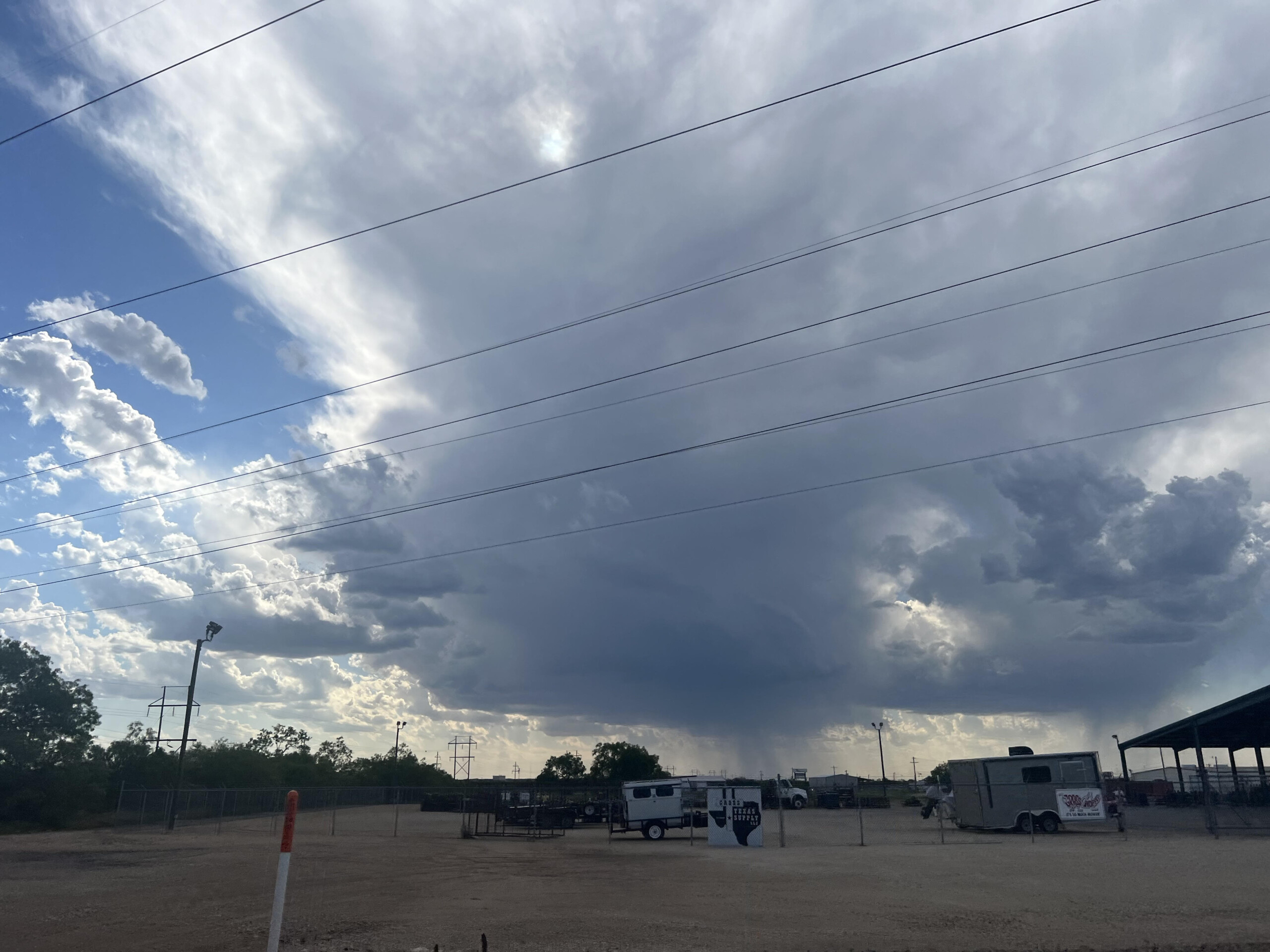
The environment was entirely different from Monday. It was characterized by very hot air at the surface and limited moisture. In the above picture, you can see how much higher the cloud base was on this storm as a result. This was not a tornado-producing storm, but its structure was quite nice.
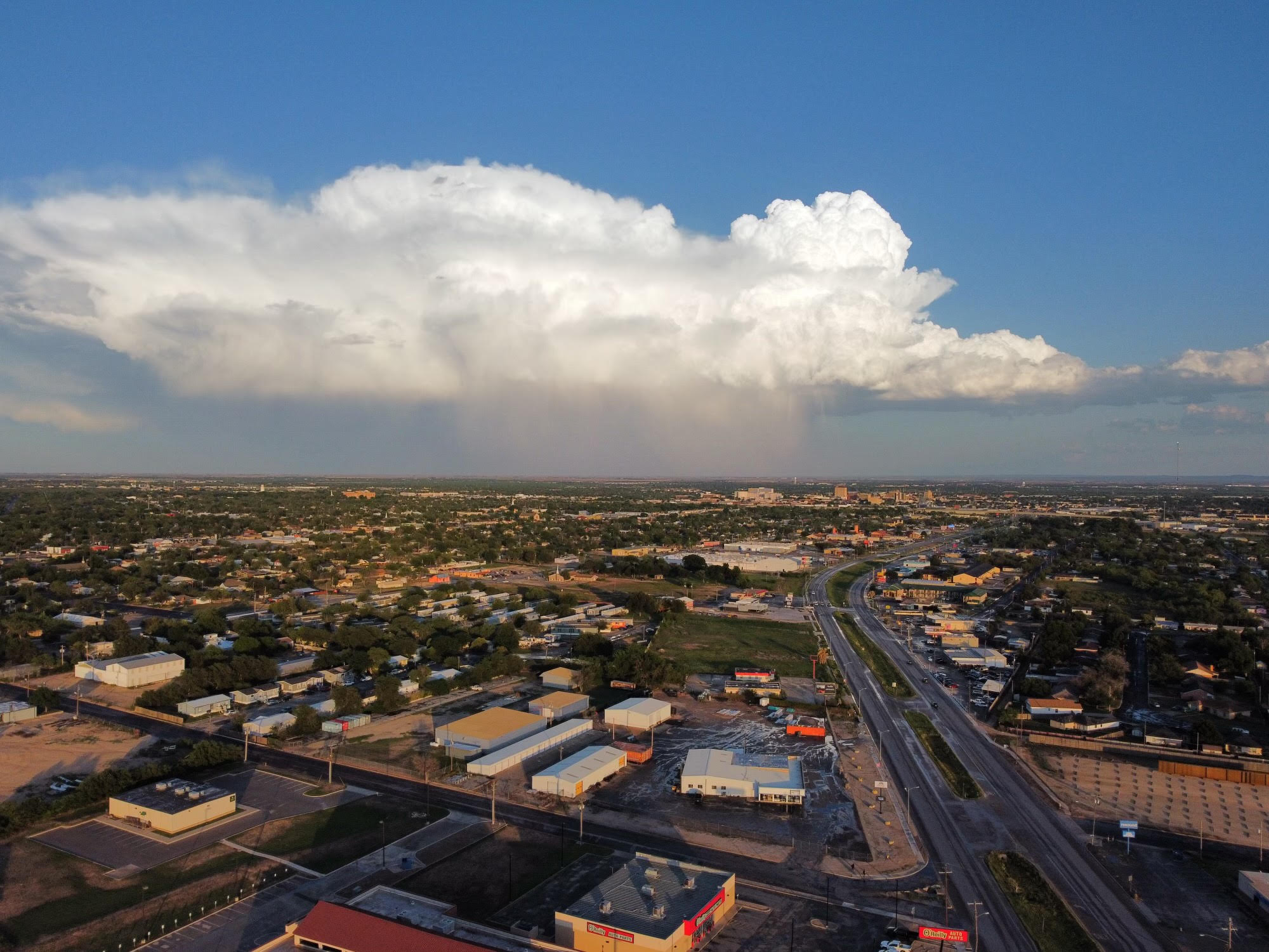
One of our students Zayne Wood captured this image of the storm as it was to our southeast. You can clearly see the downdraft of rain & hail, the sheared anvil on the left side, and the flanking line on the right. When the storm moved over our position, it produced wind gusts of around 35 mph and hailstones of pea to dime size.
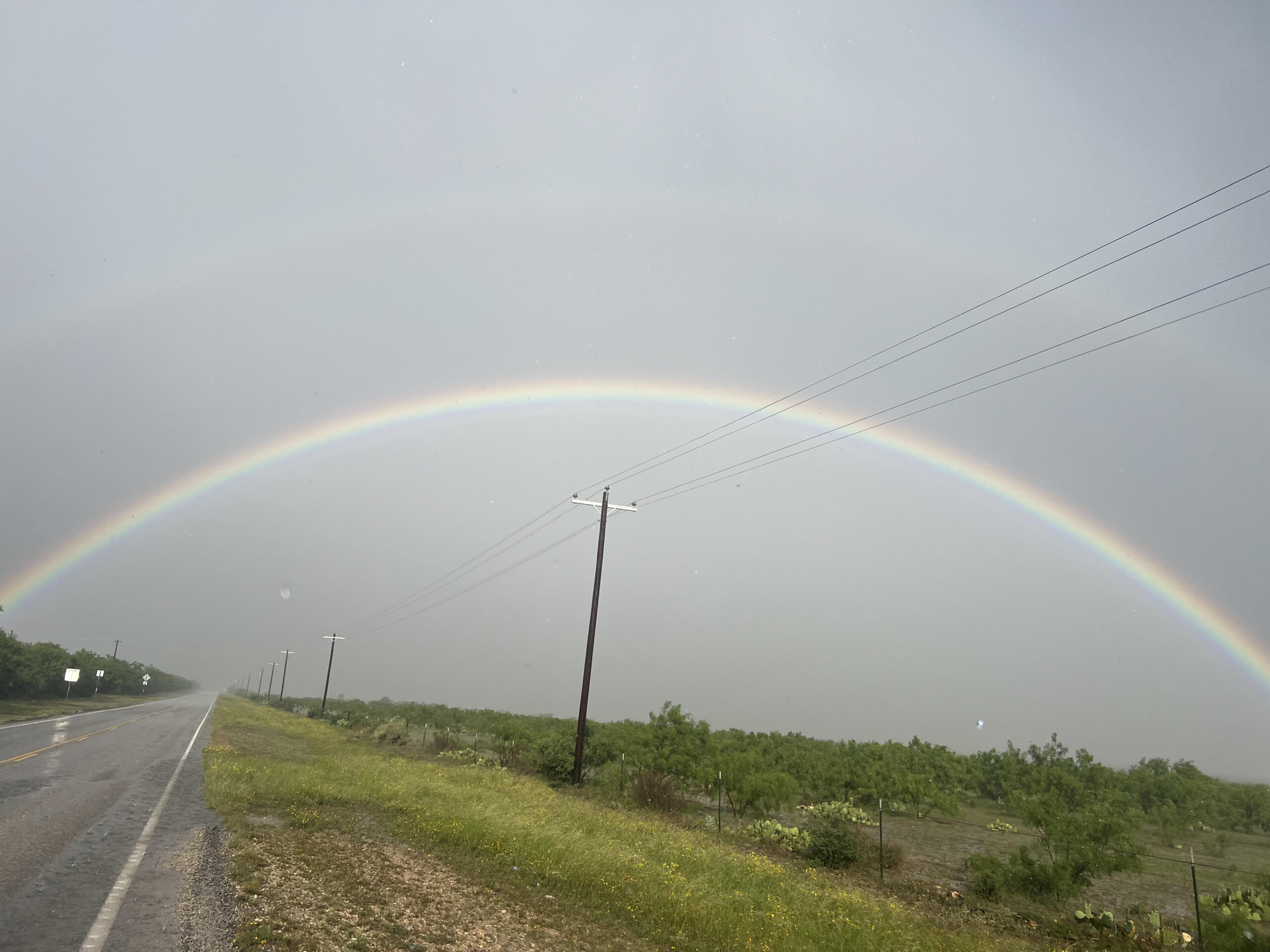
This storm also produced an incredible double rainbow. You can see the “extra” rainbow is the “reverse” of the brighter rainbow due to the prism effect.