More Strong to Severe Storms
COLUMBUS, Mississippi (WCBI ) – The severe weather threat continues for your Wednesday with multiple rounds of strong storms. The main threats with these storms will be heavy rainfall, strong winds, and potential flash flooding. The rain continues for tomorrow as well with a 30% chance of rain for your Thursday, so be sure to keep your rain gear handy. With a few isolated storms for your weekend, we should start to clear out to start off early next week.
TODAY – We’re tracking lots of rain and storms headed our way for Wednesday, so we are under another risk for severe weather today. The strongest of these storms will be focused more to our northern counties today, with the main threat being strong winds. There will be multiple rounds of these storms with the first round starting at noon and the next round to follow later this evening.
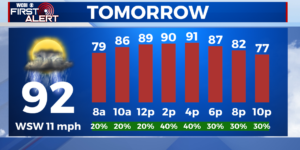
TOMORROW – It will be another hot and humid day to start off tomorrow with another 30% chance of rain. Skies remain mostly cloudy throughout the day tomorrow and temperatures will climb into the lower 90s. More rain and a few scattered thunderstorms remain possible for your Thursday.
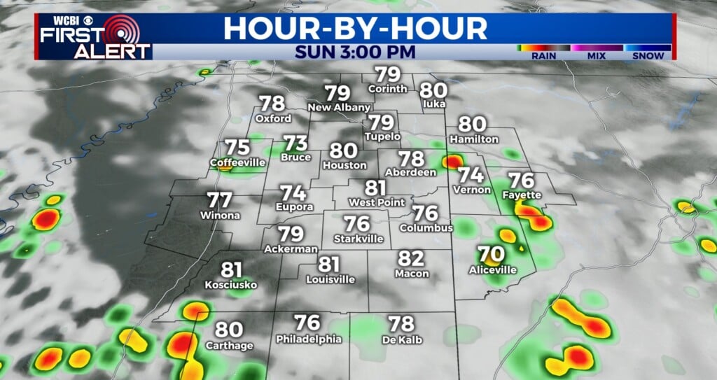
NEXT WEEK – A few scattered storms for your weekend, but most of us should stay dry. The rain looks to clear out just in time to start off your next work week.


