Hot & humid weekend, storms possible again
SUMMARY: Dangerous heat and humidity will continue this weekend. Heat indices may approach 115° so be sure to limit your exposure to the outside environment as much as possible. A few storms are possible Saturday but odds are higher Sunday with an incoming cold front. 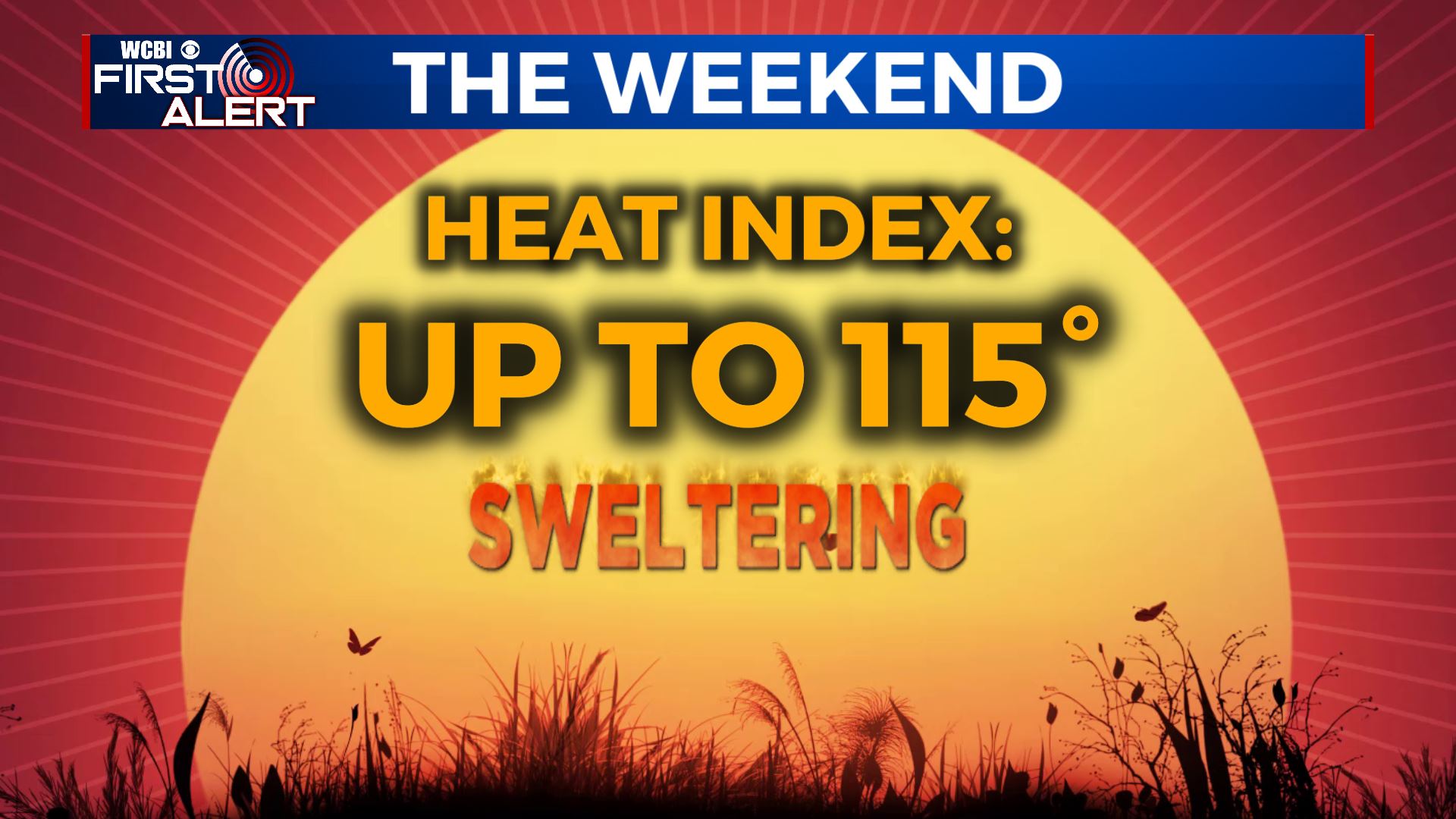 FRIDAY NIGHT: Isolated evening showers and storms are possible across our northeastern counties. Anything that develops will fade away during the night. Lows in the mid 70s with calm wind. SATURDAY: Partly cloudy, hot, and humid. Highs in the mid to upper 90s with heat indices between 105° and 115°. Some pop-up storms are possible during the afternoon with the rain chance about 30%. Many spots will NOT get natural relief from the heat. Winds W 3-7 mph.
 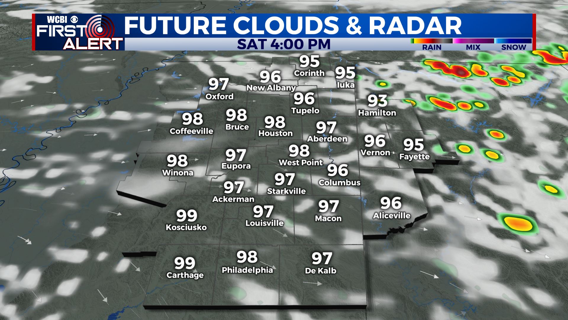 SATURDAY NIGHT: Partly cloudy. A slight chance of a few showers and storms. Lows in the mid 70s. SUNDAY: Partly cloudy, hot, and humid. Highs in the low to mid 90s with heat indices well into the 100s again. Rain and storm chances go up to 60%.
 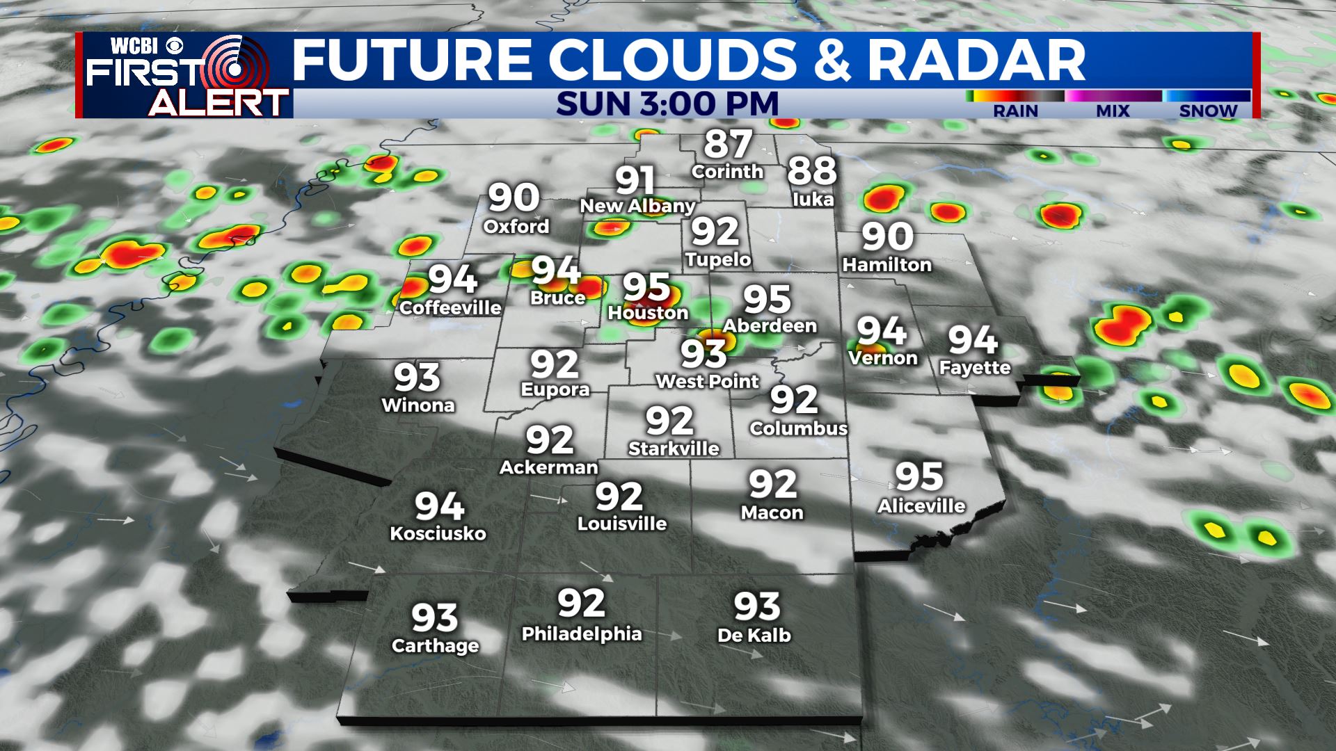 NEXT WEEK: Some showers and storms may linger Monday and Tuesday but recent data trends suggest things may dry out a bit faster. Highs return to the 80s through Wednesday with some lower 90s possible again by Thursday and Friday. Overnight lows in the 60s will be a welcome change of pace. Follow @WCBIWEATHER on Facebook, Twitter, Instagram, and the WCBI News App


Leave a Reply