Hot, Hot, Hot
SUMMARY: A few showers and t-showers are possible on Thursday and there may be a stray shower on Friday. Most spots will remain high and dry going forward as a big fall heat wave gets underway.
WEDNESDAY NIGHT: Isolated early evening showers across the northern part of the area will fade away. Plan on a quiet night with lows in the upper 60s to around 70. Winds remain light.
THURSDAY: We’re keeping a 20% chance of a few showers and storms going. Consider yourself lucky if you get rain. Highs should be back into the low to mid 90s with westerly winds 5-10.
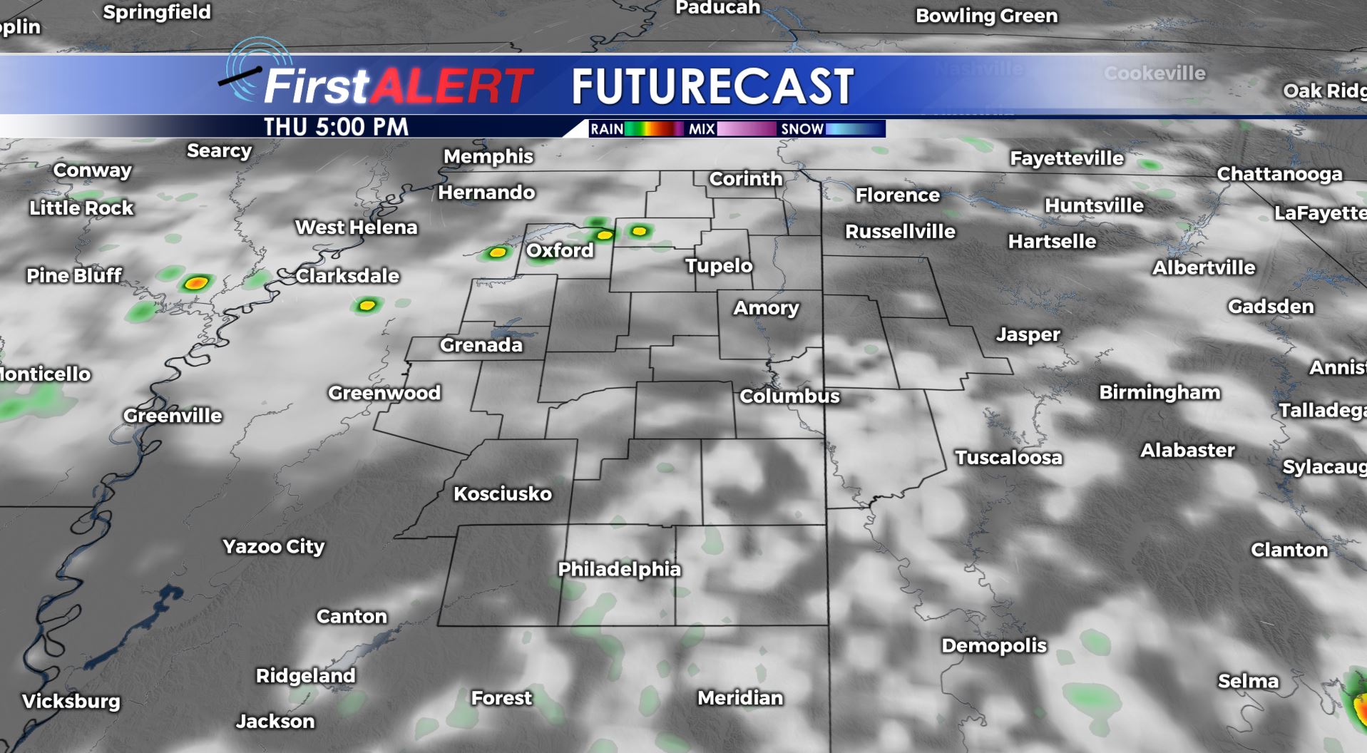
Thursday Futurecast
THURSDAY NIGHT: Partly cloudy and mild. Lows in the upper 60s to around 70.
FRIDAY: Partly cloudy and warm. Highs in the low to mid 90s. There could be a stray shower but odds are very slim. Conditions should be good for high school football once the sun sets.
SATURDAY-WEDNESDAY: A big ridge of high pressure is going to keep most of the Deep South hot and dry. Highs each day should be in the mid to upper 90s which will likely lead to more record highs. Overnight lows are going to be around 70. Suffice to say this will be some 10-15 degrees above normal for this time of year.
Stay connected with @WCBIWEATHER on Facebook, Twitter, and Instagram


Leave a Reply