Hot and humid start to the week
COLUMBUS, Mississippi (WCBI) – Hot air w/increased humidity starts the week. There is increased rain chance by Wednesday.
MONDAY: Ahead of a weak front, hot air and increased moisture will pose increased heat stress through most of the region as heat indices climb above 105° at times today. Actual air temps are expected to reach the upper 90s w/limited rain chances.
MONDAY NIGHT: We won’t see much relief overnight with lows in the mid 70s.
TUESDAY: This could be the hottest day of the week as highs reach the upper 90s to near 100 degrees. By afternoon, a handful of showers or storms could develop…but most places will stay dry.
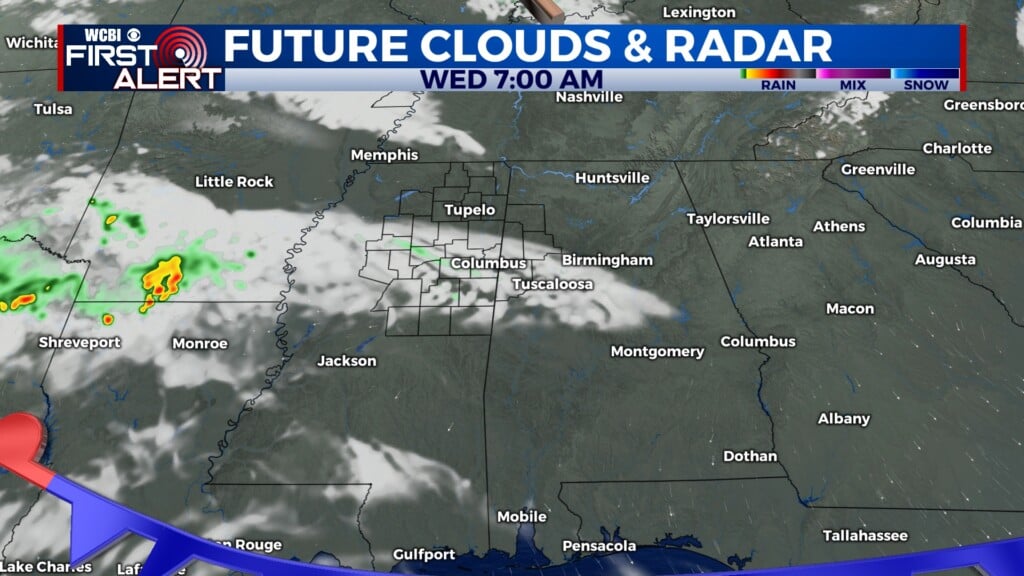
WEDNESDAY: We’ll finally get a little “help” of the upper-levels as a slightly stronger disturbance slides through the region. We expected scattered to potentially numerous showers and storms during the day, some of which could be heavy or strong. This will probably be our best shot at rain we’ll have this week!

REST OF WEEK: Mid-level ridging rebuilds through the end of the week. This means dry weather returns as well as increased temperatures – highs will be back in the mid to upper 90s by Friday.