Heat sticking around to start the weekend with storm chance on the way
Hot temperatures and a storm chance are here for your Friday.
COLUMBUS, Mississippi (WCBI) – The heat and humidity were the main headliners for us today. They both will be hanging around with us tomorrow with the additional chance to see a couple of storms to start off the weekend.
THURSDAY NIGHT: We will stay warm and muggy tonight with overnight lows only falling into the mid 70s. We will see a couple of passing clouds overnight.

FRIDAY: No relief from the heat and humidity just yet. Another hot day to end off the work week with highs in the upper 90s with heat indices upwards of 110 degrees. Another heat advisory will be in place tomorrow, and it will expire at 7 pm that evening. We will stay dry during the morning hours allowing for us to heat up quickly. By the afternoon, isolated rain showers and thunderstorms could be out and about, some of which could be on the stronger to even severe side with gusty winds being the main threat. By Friday evening, a few isolated thunderstorms could still linger with overnight lows falling into the mid 70s.

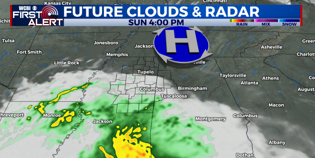
THE WEEKEND: Saturday poses another threat for more isolated to scattered storms during the daytime hours. Like Friday, the main threats are strong and gusty winds. High temperatures will get into the mid 90s once again and still feeling muggy headed out the door. The front that is causing the storm potential will push through Sunday, bringing relief to our neck of the woods. Afternoon highs will be in the low 90s, overnight lows in the mid 60s, and much drier air! Some could even say it is a taste of fall!