Harvey’s Remnants Bring Rain This Week.
HARVEY: Tropical Storm Harvey has slowly drifted back into the Gulf as forecast. This added time over water will allow Harvey to remain a weak tropical storm through mid week. By Thursday, it is likely Harvey will have weakened to a depression or a post-tropical cyclone. Harvey will begin moving northeast later today, and will bring some tropical downpours to our area. In addition to the rain, a brief, weak spin-up tornado will be possible with Harvey’s remnants across our area. The weak tornado threat means you should remain weather aware through the middle of the week, but by no means should you change your daily routine. Just have a way to receive a warning throughout the day.
TODAY: Overcast skies, and a stray shower cannot be ruled out. Highs in the mid 80s. Chance of rain around 20%.
TONIGHT: Rain begins to move in. Lows in the low 70s. Chance of rain around 40%.
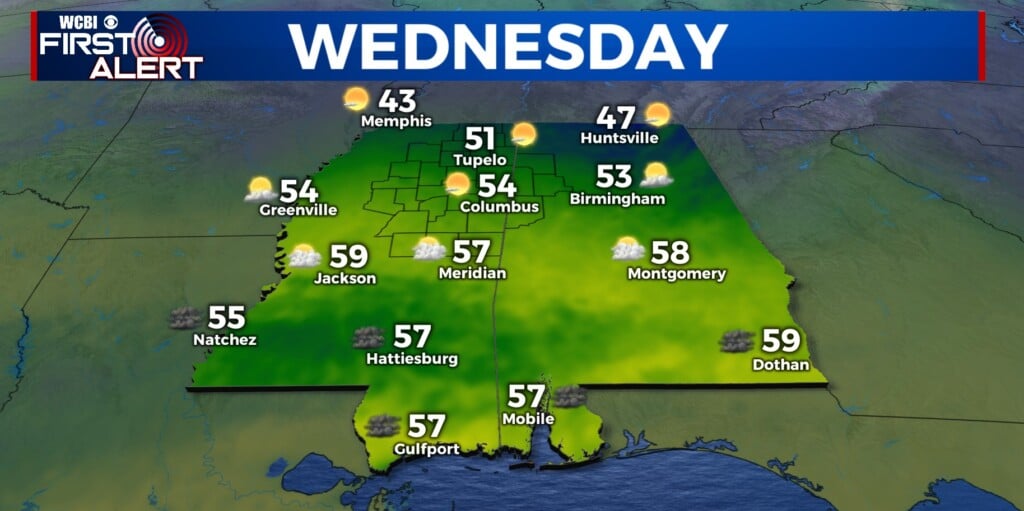
WED/THU/FRI Heavier downpours will be possible as the remnants of Harvey move through. An isolated weak tornado cannot be ruled out. Highs in the low 80s. Rain chances around 50-60%.
LABOR DAY WEEKEND: The forecast becomes a little less clear over the weekend. Some forecast models are indicating some moisture from Harvey could still be around to produce some rain, while others suggest a drier look. For now, low end rain chances will stay on the board, but no washout in the forecast. As we get a bit closer to Saturday, we will have a better idea as to whether rain gear is a must for game one in Oxford and Starkville. Highs will be in the mid to upper 80s. Rain chances at 30% Saturday and Sunday, and 10% Labor Day.


Leave a Reply