Harvey’s Remnants Bring Rain.

 HARVEY: Harvey will make its second landfall later this morning in western Louisiana, with Harvey’s outer bands extending well east of the center of the storm. Those bands will be impacting us today and tomorrow as Harvey continues to trek northeast.
TODAY: Rain bands from Harvey move in, giving us a good chance of rain. Cloud cover and rain keep us relatively cool, with highs in the upper 70s. An isolated spin up tornado cannot be ruled out, but it isn’t a high end threat. Mostly showers today, but an embedded thunderstorm cannot be ruled out. Chance of rain around 70%.
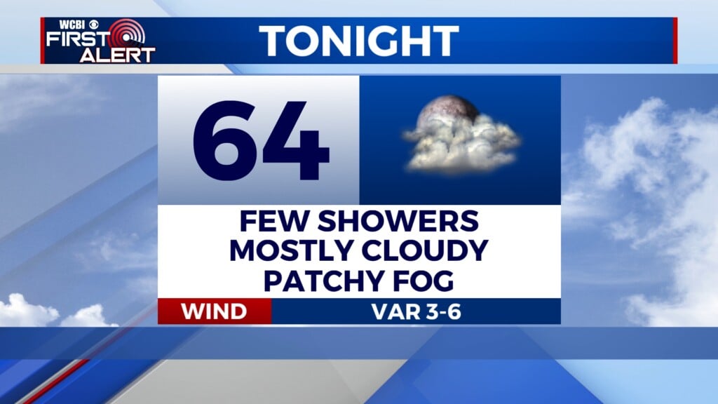
TONIGHT: Showers and thunderstorms continue. Lows in the low 70s. Chance of rain around 70%.
THURSDAY: Widespread showers and storms associated with Harvey. One or two isolated spin-up tornadoes will be possible, but they would be weak and brief. Highs in the upper 70s and lower 80s. Rain chance around 80%.
FRIDAY: Some early morning showers and storms may linger, but models have come into more agreement that Harvey will be exiting our area by the time the sun rises on Friday. Mostly cloudy, with highs in the low 80s. Chance of a lingering shower or storm in the early morning around 40%, then afternoon rain chances drop off to around 10%.
LABOR DAY WEEKEND: The newest model runs are more consistent with a drier weekend across the area. Rain chances have been dropped off the board this weekend, and only a low end rain chance on Monday. Highs in the mid to upper 80s Saturday through Labor day.
TUESDAY: Highs in the low to mid 80s, with a few scattered showers and possibly a thunderstorm. Rain chance around 30%.


Leave a Reply