Gradually warming ahead of the storms
COLUMBUS, Mississippi (WCBI) – Temperatures are going to be gradually increasing through the rest of the week. Friday will be the transition day from nice to stormy on Saturday. Conditions will calm again after the system clears East on Sunday.
WEDNESDAY NIGHT: Temperatures are going to be the coldest tonight out of the entire week. Overnight low temperatures will fall towards freezing, where a lot of the NE corner will see temperatures below. The sky will continue to be clear, allowing for this big drop in temperatures.
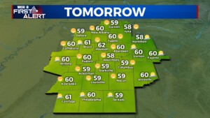
THURSDAY: Another nice day is to be expected. Mostly clear sky will continue through our Thursday. Temperatures will be a few degrees warmer than Wednesday, increasing into the upper 50s to lower 60s. Low temperatures overnight will be warmer too, in the upper 30s.
FRIDAY: Continuing to increase the high temperatures. Friday’s high temps will be closer to the middle 60s. It is also going to be our transition day. Moisture from the Gulf will be moving North. This will allow the build up of cloud coverage to begin ahead of the approaching frontal system. Temperatures Friday night and into Saturday morning will be very mild, thanks to the increased cloud coverage, in the middle 50s.
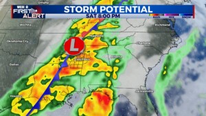
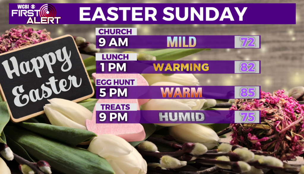
WEEKEND: Widespread showers and storms are expected with this front, with potential severe weather increasing by afternoon & evening as higher shear overlaps the instability. Increasingly warm and unstable air will be flowing northward into Mississippi during the day in advance of a strong Pacific front to help create the instability. It’s still too early to define specific threats or a specific time window, but overall signs still point to the threat of severe weather Saturday PM. A rough estimate, for those looking at their weekend plans, could be from 2PM until Midnight. While a few showers are possible Sunday morning, the rest of the day looks much drier and cooler behind the frontal passage.


