Gradual clearing for Monday
COLUMBUS, Mississippi (WCBI) – Severe storms associated with damaging winds and large hail have pushed through Northeast Mississippi tonight. Gradual clearing will occur throughout the overnight hours with lingering showers possible early Monday morning. Warmer weather and sunshine returns for the beginning of the week.
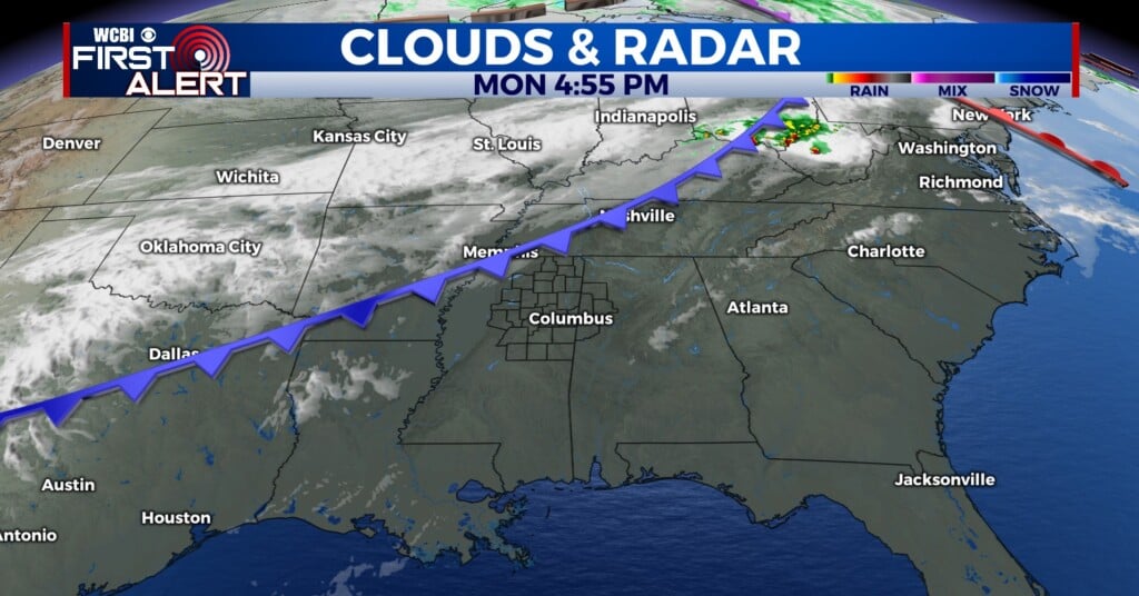
TONIGHT: The line of thunderstorms is slowly continuing to work through the region as we go into the next couple of hours. Our northern counties are under a tornado watch until 11 pm tonight, with our southern counties as western Alabama counties under a severe thunderstorm watch until midnight tonight. The line will continue to push through our central and southern counties overnight, with most storms leaving our viewing area around 2-4 am. Main threats include damaging winds and hail; however, the tornado threat cannot be rule out completely.


MONDAY: There may be a few lingering showers throughout the early morning hours for Monday, but conditions begin to get better throughout the day. Highs tomorrow will be in the low 70s with a partly cloudy sky by the afternoon.

LOOKING AHEAD: Warm weather returns the rest of the week with high temperatures in the mid 70s to start the week and sunshine!