Gorgeous holiday weekend, Storms coming back late week
SUMMARY: A downright chilly night tonight across the area, 40s possible in the region. A beautiful and dry Sunday and Monday with temperatures rebounding. Humidity returns by Tuesday, with a slight chance of showers and storms Wednesday. Widespread showers and storms more likely Thursday and Friday.
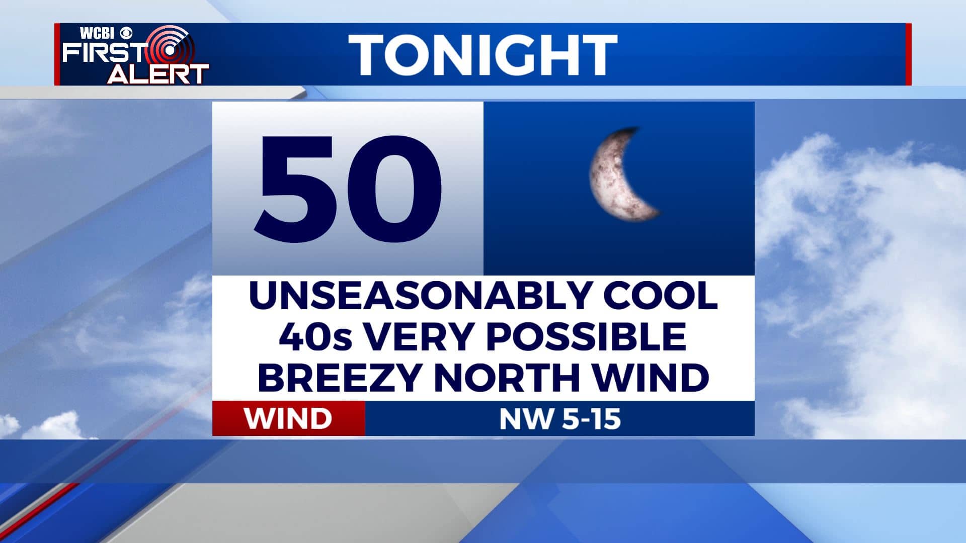
SATURDAY NIGHT: A very unusual forecast for a late May night. Lows in the upper 40s to low 50s across the area, almost 15 degrees below average! Winds should calm down some overnight and the skies should clear out as well.
SUNDAY: Nearly perfect weather for Sunday, with dry air and blue bird skies staying in place. Highs will top out in the mid to upper 70s with a refreshing breeze out of the North. A wonderful day to enjoy outdoor activities.
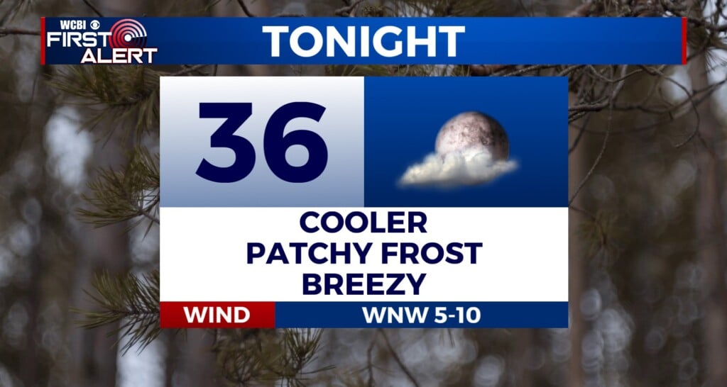
SUNDAY NIGHT: Winds die down again Sunday night, and with clear skies expect temperatures to drop into the low 50s. 40s are possible again across far northern areas. A very cool and refreshing night.
MEMORIAL DAY: Clear skies remain in place. The air should still be pretty dry and comfortable, but humidity will begin creeping up again in the afternoon as winds switch to the SW. Highs in the mid 80s and lots of sunshine.
TUESDAY-SATURDAY: Humidity is back by Tuesday, and temperatures will be back up near 90. More clouds for Wednesday, with a slight chance of an afternoon shower or storm. A more typical summertime pattern sets up for Thursday and beyond, with a good chance of scattered to numerous afternoon showers and storms Thursday and Friday. Rain chances may diminish a bit by next weekend.
CONNECT WITH @WCBIWEATHER ON FACEBOOK, TWITTER AND INSTAGRAM


Leave a Reply