Francine impacts Thursday
COLUMBUS, Mississippi (WCBI) – Hurricane Francine made landfall around 5PM Wednesday September 11th, 2024 as a Category 2 hurricane near Morgan City, Louisiana. As it shifts North, we will experience its impacts throughout the day Thursday.
WEDNESDAY NIGHT: Despite having a hurricane make landfall this evening, conditions are going to be relatively calm. A few isolated to scattered showers will be possible from the most outer bands of the storm. Otherwise, humid with heavy clouds. Temperatures tonight will be in the upper 60s to lower 70s.
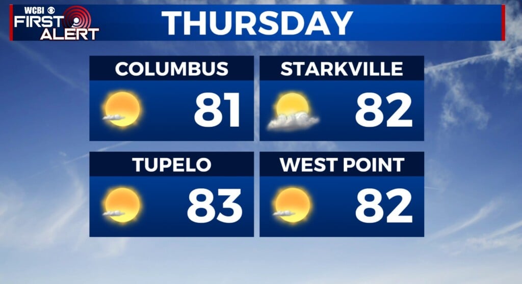
THURSDAY: Day of impact for northern Mississippi. Francine will continue moving North throughout the morning and afternoon. Heavy showers and gusty winds will hit our southern counties around 1-2am. From there, more of northern Mississippi will experience showers, storms, wind gusts (up to 50MPH), and possibly a tornado threat. Rain totals are expected to be anywhere from 2-6″. Flooding is likely going to become a problem, with power outages being a possibility. We are watching a few areas going overnight and into Friday and another through Friday evening, stay tuned for those updates.


