Final day of heat with pattern change coming up!
Continuing the heat today with "cooler" weather upcoming
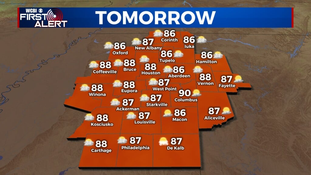
COLUMBUS, Mississippi (WCBI) – It is Northeast Mississippi’s final day of heat! Another day of heat advisories ahead, but things will really start to change starting Thursday. As a cold front approaches from the NE, our temperatures will begin to steady in the low 90s and upper 80s for the rest of the week and into the weekend. With changes incoming, the chance for rain and storm potential is on the uphill climb.
WEDNESDAY: Hot day ahead! Highs today will be in the mid to upper 90s with feels like temperatures in the triple digits. That being said, the National Weather Service has placed most of us under another Heat Advisory starting at 10 am and lasting until 8 pm. As the front slowly starts to sag south into parts of our area, the chance to see a pocket of rain or thunderstorm this afternoon and evening will begin to pick up. Lows tonight will steady in the low to mid 70s.
THURSDAY: Here come some changes in our weather! Extra cloud coverage and the increased rain/storm potential will only keep highs in the low 90s tomorrow. Definitely a nice relief from the heat! Scattered showers and thunderstorms are possible throughout the day with some places possibly seeing up to a quarter of an inch of rainfall. Overnight lows will fall into the low 70s.
REST OF THE WEEK: Seasonable to “cooler” temperatures are back into the forecast for the rest of the week and heading into the weekend! Highs will be in the low 90s and even in the upper 80s; can’t beat that for mid July in Mississippi! The daily chance for the summertime afternoon showers and storms will still be with us too which is good. Many parts of Northeast Mississippi are experiencing drought like conditions, so we will take any rain we can get.


