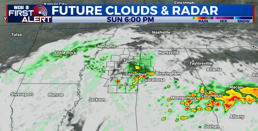
Extreme Likelihood of Flash Flooding in Our Area Through Tuesday
Columbus, MISS. (WCBI) – The latest from the Weather Prediction Center places a maximized area with an extreme likelihood to see flash flooding today and tomorrow. This “extreme” designation is rare and reserved for days when a significant high impact flood event is likely to impact lives and property.
On average, an extreme risk like today is only issued around 15 times a year in the United States. However, 2 out of 5 flood-related fatalities and 9 out of 10 flood-related damage reports occur on risk days like today.
Flooding will be the most widespread impact over the next 24 to 36 hours. Remember to “Turn Around, Don’t Drown” and be prepared to move to higher ground if a Flash Flood Warning is issued. Those with interests along rivers, and in low lying and flood prone areas should be prepared to take action to protect life and property.
The last time this classification was given for our area was during the February Floods of 2019.
Latest Forecast: Get the latest forecast updates online and on the app
Severe Weather Center: Check out the latest on the chance for strong storms locally online and on the app
Stay Safe with WCBI: Know what different watch and warning products are and create a safe plan to keep your family prepared ahead of severe weather, including flooding.


Leave a Reply