Excessive heat continues Monday, front arrives with relief Tuesday
COLUMBUS, Mississippi (WCBI) – Another day of intense summer heat is in store Monday. Welcomed relief is on the way for mid-week thanks to a rare August front!
MONDAY: Just about the entire region is in an excessive heat warning as highs soar back into the 90s and low 100s. The heat index will range from 110-120° like previous days. While a random shower or two could develop in the afternoon, most will stay dry and HOT.
MONDAY NIGHT: The much-anticipated front should slide into northern MS, triggering at least a thin line of briefly heavy showers and a few rumbles. This is most likely to occur closer to midnight and into the overnight hours.

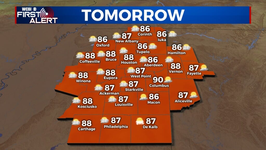
TUESDAY: Any shower should fizzle out by mid-morning, leaving a gradually clearing sky with “cooler”, less humid air rushing into the region! Highs should the in the middle 80s by afternoon. Low temperatures will easily drop into the 60s late Tuesday night.
REST OF WEEK: This more comfortable air will only be brief, lasting only through Thursday. Hotter, increasingly humid air is on the way for the end of the week and the weekend. By Saturday and Sunday, highs will be back in the middle 90s.