Even cooler air on the way, sunshine continues
A cold front will move through the area on Sunday, bringing cooler air into the area by Monday. We’ll slowly warm back up to the 70s by Wednesday as skies remain mostly sunny to partly cloudy. No rain is expected this week.
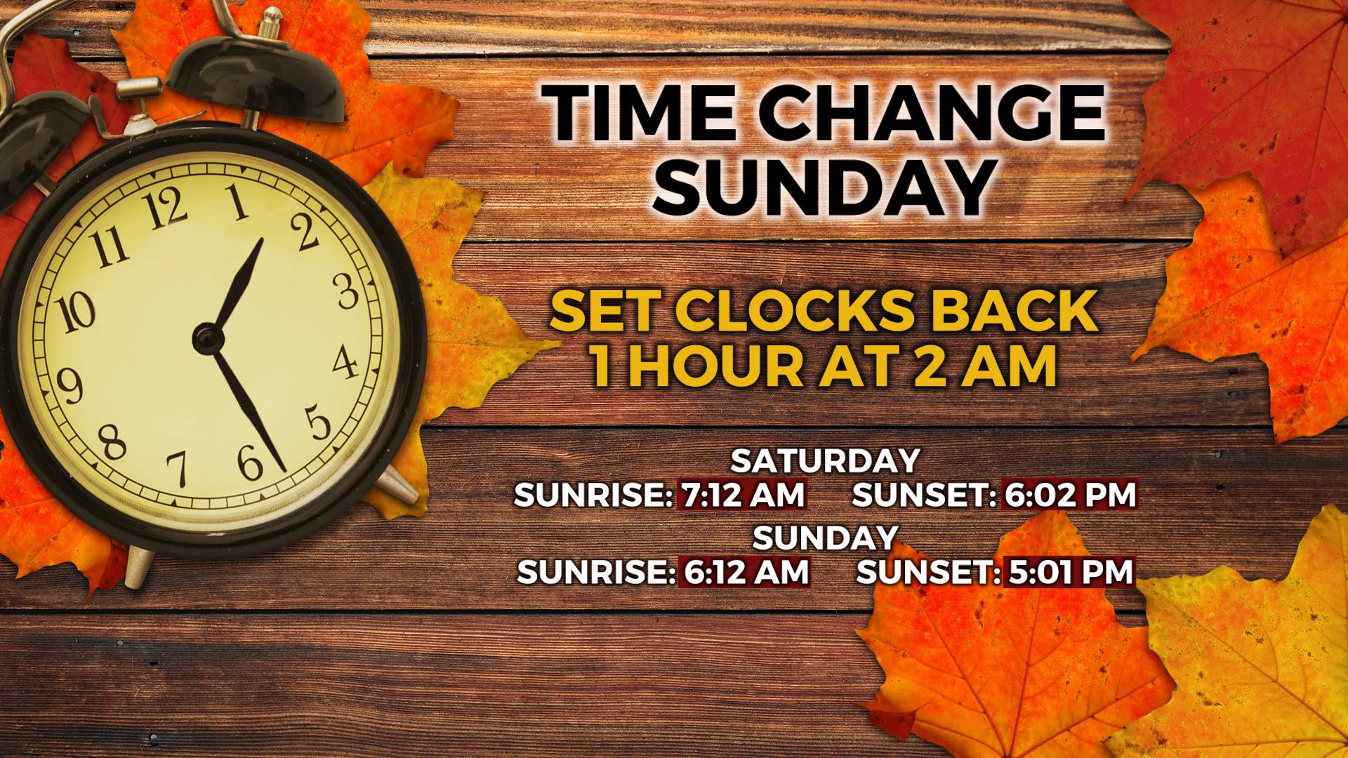
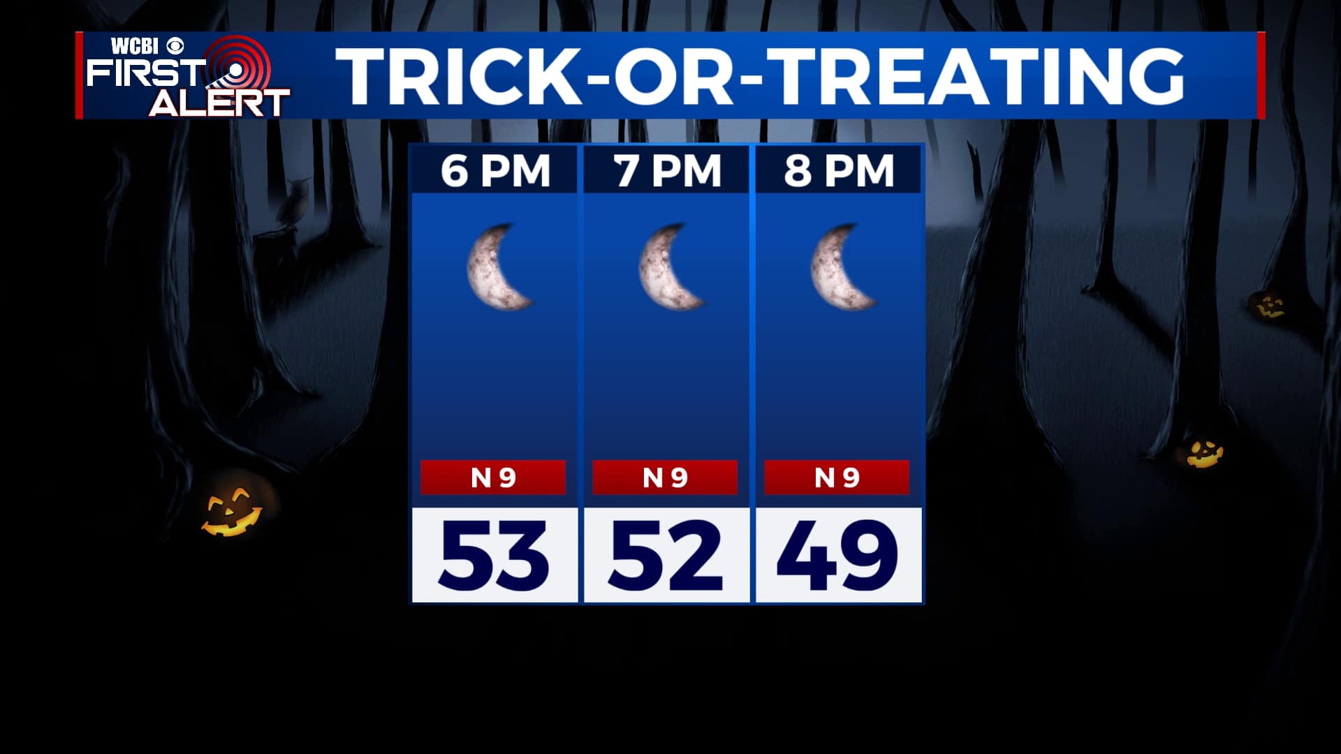
SATURDAY NIGHT: The weather looks great for any trick-or-treating tonight, but temperatures will be a bit chilly. We’ll be into the 50s after sunset with a mostly clear sky. A few clouds are possible after midnight, but no rain is expected. Don’t forget to set your clocks back one hour before bed, as time changes at 2 am Sunday morning. We’ll gain an hour of sleep tonight, but lose an hour of sunlight in the evenings.
SUNDAY: Aside from a few early morning clouds, skies will remain mostly sunny. Afternoon highs will be in the mid 60s. Winds will be breezy out of the northwest, with gusts of 25 mph possible at times.
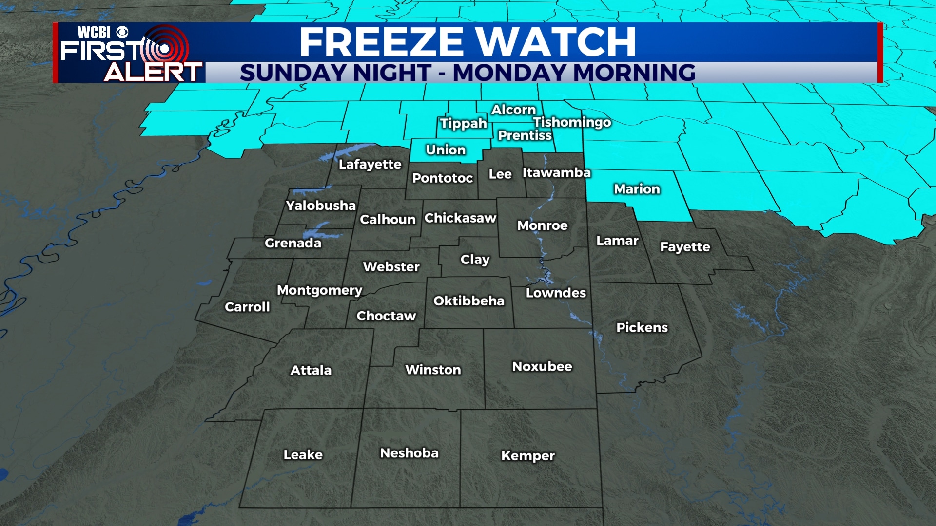
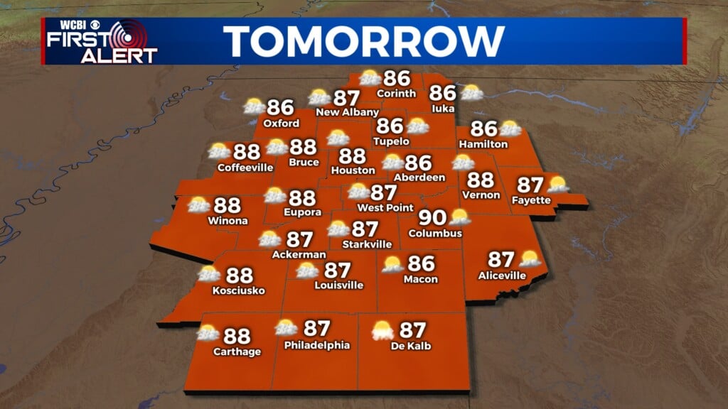
MONDAY-TUESDAY: We’ll feel another shot of cooler air to start off the week with highs only in the mid to upper 50s on Monday. Tuesday’s highs will be a bit warmer, but still only in the mid 60s. Skies will remain mostly sunny. Monday morning’s low temperatures could be close to freezing in many spots.
WEDNESDAY-SATURDAY: Temperatures will warm up a bit for the second half of the week and into the weekend as skies remain mostly sunny to partly cloudy. Highs will be back into the low 70s with morning lows in the 40s to low 50s.
Follow WCBI Weather on Facebook, Twitter, and Instagram
Follow Meteorologist Trevor Birchett on Facebook and Twitter


Leave a Reply