Enjoy the weekend
COLUMBUS, Mississippi (WCBI) – February is ending and March is beginning. Into March’s first week, severe storms are expected.
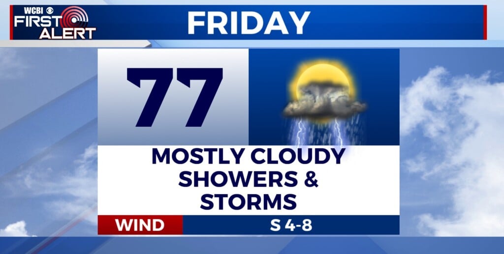
FRIDAY NIGHT: The clearer sky will allow for temperatures to fall through the evening. Overnight lows will be chilly again, dropping into the lower 40s.
WEEKEND: The weekend will be split into two. A weak, dry cold front will cut across the Twin State region through Saturday morning. Temperatures will reach the lower 70s by the afternoon. It is going to be a breezy day, with winds coming in from the NNW. Gusts could be up to 20MPH. Cooler air will move in later in the day. This will drop overnight lows into the middle 30s. Sunday will be cooler too. Highs only reaching the lower 60s. Clouds will fill in slowly through the day.

NEXT WEEK: Moisture continues to build in. A few light showers will be possible. The main event next week is the potential for severe weather Tuesday into Wednesday. NE MS is split between Levels 2 and 3 for severe weather threats. Heavy showers, gusty winds, hail, and tornadoes are all possible. The rough timeline currently is approximately 10PM-3AM. More updates will come over the weekend. Stay tuned!