Dry through Wednesday then scattered showers and storms Thursday
COLUMBUS, Mississippi (WCBI) – SUMMARY: The next few days will be warm with increasing humidity, then widespread rain arrives late Thursday. The Atlantic Basin Hurricane Season begins Wednesday, and we may not have to wait long for our first storm… details below.
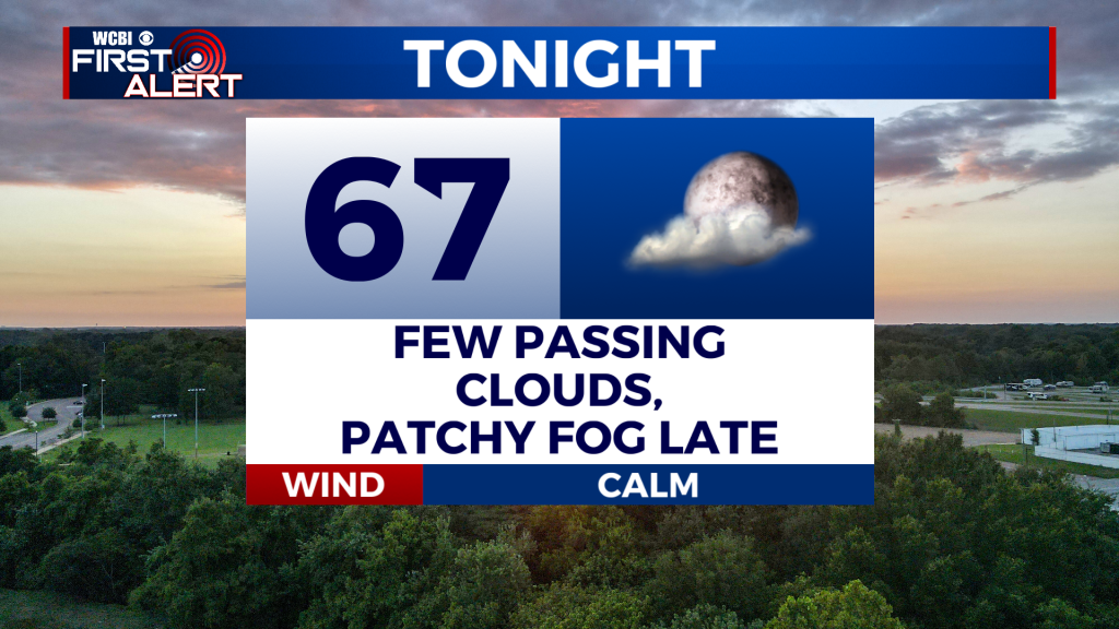
TONIGHT: Mostly clear with lows in the upper-60s. Patchy fog possible after 3am. South wind 3-5 mph, becoming calm after midnight.
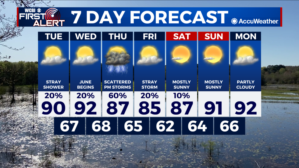
TUESDAY: Mostly sunny and warmer once again with highs in the low-90s. A stray shower or thunderstorm is possible, but most of the region will remain dry. South wind around 5 mph. Chance of rain: 20%.
TUESDAY NIGHT: Mostly clear with lows in the upper-60s. South wind around 5 mph.
EXTENDED FORECAST: High pressure remains in place across the region, and should suppress most shower or thunderstorm development in the coming days. Changes to the forecast arrive by the middle of the week, however, as the high begins to weaken across our area and a cold front approaches on Thursday. Ahead of the front, showers and thunderstorms are expected to increase in coverage Thursday afternoon and evening. A couple storms may be strong. Rain chances will decrease on Friday as the front drifts south of our region.
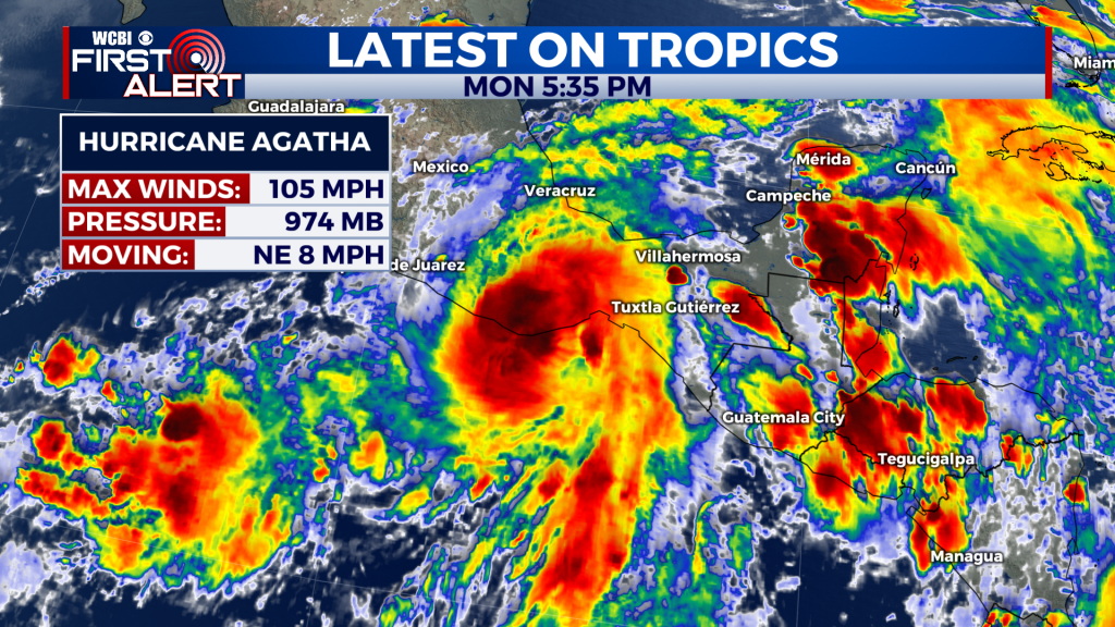
TROPICS: All focus remains on Hurricane Agatha in the Eastern Pacific. As of 3pm today, Agatha remains a strong Category 2 hurricane with maximum sustained winds of 105 mph. As it moves inland, Agatha is expected to weaken rapidly. Forecast models have the remnant low pressure from this system moving into the southwestern Gulf of Mexico later this week, and then will eventually combine with a tropical wave in the northwestern Caribbean to potentially develop into another tropical system. If this occurs, it would become “Alex”. The good news for our region is we are confident this system will not pose a threat to the Central Gulf Coast. The bad news is it will likely impact the Ole Miss baseball games this weekend set to play in Miami.


