Dry skies define mundane week as drought conditions slowly begin to creep in
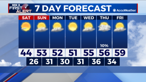
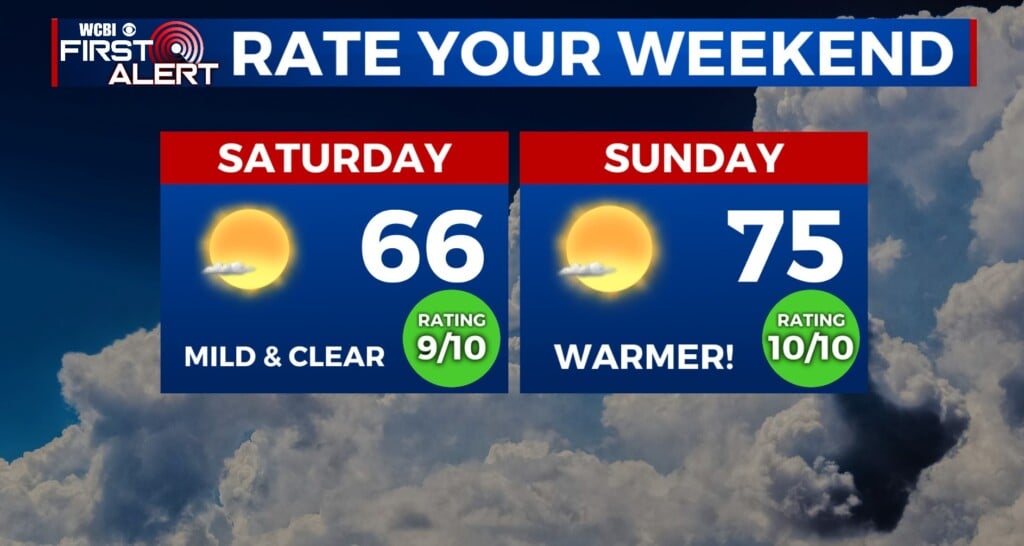
SATURDAY: An unpleasantly cold Saturday morning makes way for a slightly less cold afternoon. Mostly clear skies will be prevalent throughout the day, but will not add much in the way of any warming. Clear skies throughout the night too will allow lows to drop back into the mid to high 20s overnight.
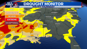
NEXT WEEK: A weak cold front Monday will drop highs and lows ever so slightly. No rain with Monday’s front, and barring the stray shower, will be the case throughout next week. Despite the healthy rain totals of the past week the perpetuation of dry conditions in the twin states means that drought conditions slowly begin creeping back into the area. Temperatures will gradually climb throughout the week, thanks to some favorably dry and relatively clear conditions. Watch for highs to reach for 60 by our Friday, although lows will continue to remain in the 30s.




Leave a Reply