Chasing the Weather – MSU storm chase class day 6 update
COLUMBUS, Miss. (WCBI) – Tuesday, May 23 was spent mostly in the southern Texas Panhandle in and around the city of Lubbock. Several severe storms were observed.
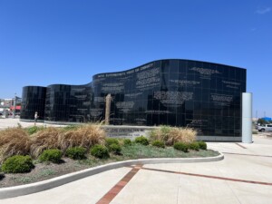
The day began by visiting the memorial of the F5 tornado from May 1970 that impacted the city. The memorial resembles the actual track of the storm, which was a nocturnal tornado. This was the first F5 tornado observed by Dr. Fujita.
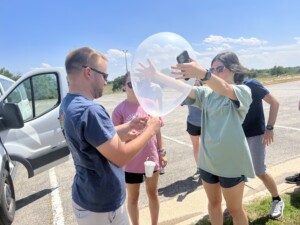
After the memorial, we launched a weather balloon on the NW side of Lubbock. These data were then sent to the Storm Prediction Center & the local NWS office for extra analysis!
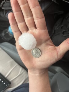
We then proceeded northwest toward Littlefield after lunch, but we ended up turning east before there and heading toward the area between Lubbock and Hale Center. We observed ping pong ball size hail with a northward-moving storm, which actually produced baseball hail on the NW side of Lubbock!
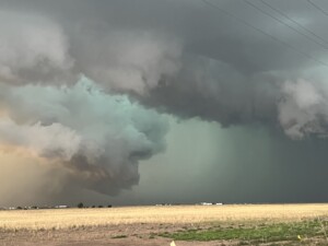
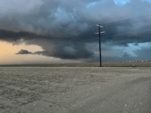
Later, storms were pushing in from the northwest, so we headed toward Plainview, Texas, to favorably position. We observed a slowly-rotating wall cloud with a distinct lowering, but inherently high cloud bases and weak low-level shear prevented any tornado development. However, we observed nearly 50 mph winds as the storm decayed moving southeast of Plainview.
