Bringing on the weekend heat
Heat and humidity expected to last through the weekend along with afternoon rain chances
COLUMBUS, Mississippi (WCBI) – It sure does feel like summertime here in Mississippi! Hot temperatures and high humidity is expected to last through the rest of the weekend along with the chance to see a few scattered showers and storms in the afternoon. A front passing Sunday into Monday will bring drier weather to start the week, but the heats sticks around and even ramps up next week.
SATURDAY: Hot is the weather word of the day! Temperatures will steady in the mid 90s this afternoon; because of the high humidity, heat indices are going to be as high as 105 degrees. There could be a chance for a stray afternoon shower today with a mostly cloudy sky. Tonight, we will cool down to the mid 70s with a partly cloudy sky.

SUNDAY: The heat and humidity isn’t going anywhere for Sunday. Highs will be in the mid 90s, but our heat indices could be up to 110 degrees. The heat advisory will be in place until 8 pm tomorrow. The chance for rain increases towards the afternoon and early evening as a frontal boundary passes Northeast Mississippi. You can expect scattered showers and storms for the afternoon with a mostly cloudy sky.

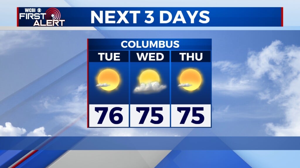
NEXT WEEK: The frontal boundary passing Northeast Mississippi Even though it will not help our temperatures much, it will help to decrease the humidity to start the work week off! The heat will crank up heading into next week, so expect a hot July 4th!
TROPICAL UPDATE: A new tropical storm is churning off in the Atlantic: Tropical Storm Beryl! TS Beryl is expected to rapidly intense and is forecasted to become a hurricane by late Sunday night or Monday bringing strong winds and choppy waters to central and western parts of the Caribbean.