Bringing in the next rain chance
COLUMBUS, Mississippi (WCBI) – Starting off with hot conditions for the last week of September, but our forecast will be transitioning to something a bit cooler and more wet. Focus is on the Tropics for what is to come.
MONDAY NIGHT: Building in some extra moisture tonight. Clouds will continue filling in ahead of the approaching front. Temperatures will be mild, in the upper 60s to lower 70s. Overall, just a humid night.
TUESDAY: Heavy clouds will maintain throughout the morning. A cold front will approach from the NW, bringing in the chance for showers and storms throughout the late morning to early evening. Some storms could become strong to severe, with wind and hail being the main concerns to watch out for. High temperatures will hold onto the lower 90s for one more day. Low temps will drop again into the upper 60s.

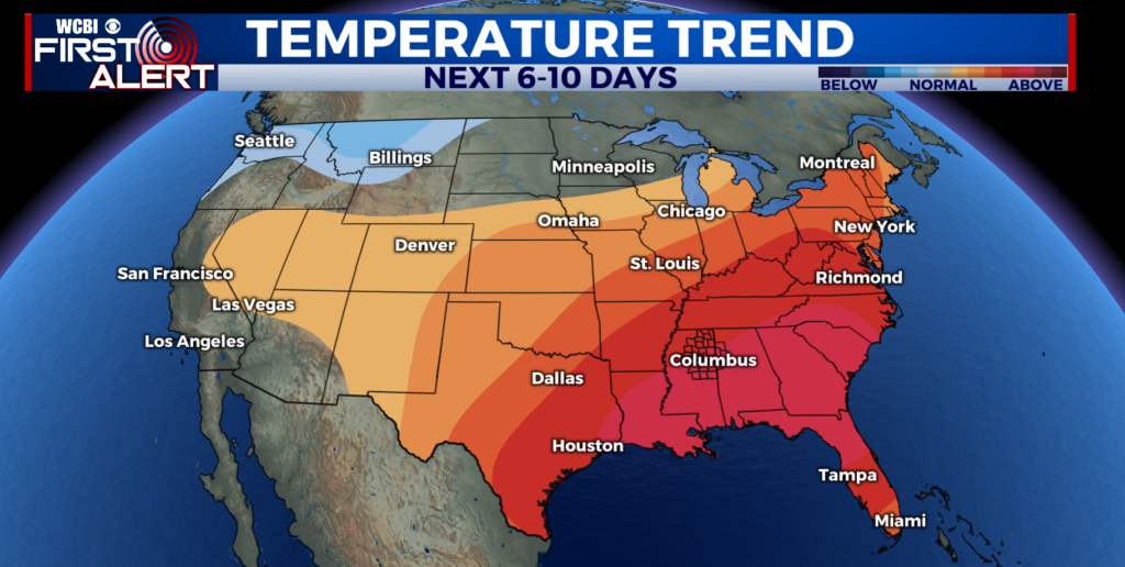
REST OF WEEK: All eyes will be on the Gulf and what happens with “Invest 97-L.” Most models have a relatively strong system hitting some part of the Florida Gulf Coast Thursday into Friday, and wherever the system goes inland will have big impacts on the local forecast. Regardless, Tuesday’s upper-air disturbance looks to “cut off” and bring continued rain chances to north MS and west AL Wed/Thu. There could be some tropical enhancement to our local rainfall as well – stay tuned!