A few showers but staying pleasant for Thursday
SUMMARY: A weak disturbance could spark a few showers or an isolated storm in the region Thursday afternoon and evening. No strong storms or severe weather is expected. Quiet & sunny weather builds back in for the start of the weekend but more storms are possible by Sunday afternoon. We’ll stay in an unsettled weather pattern next week with highs in the 70s.
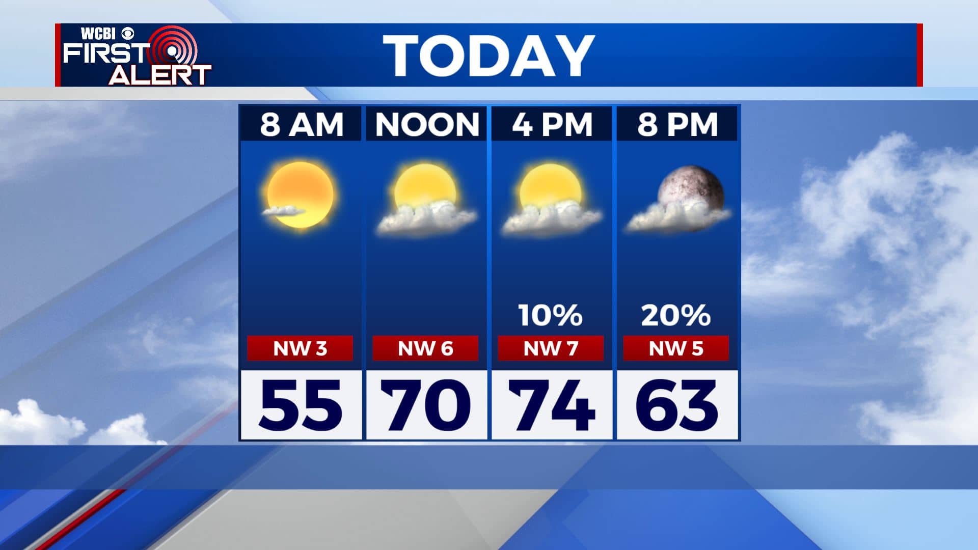
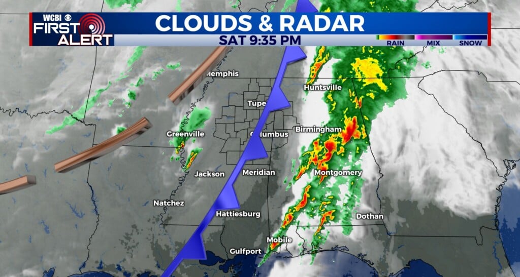
THURSDAY: Starting off the day with sunshine before clouds start moving in. We’ll have a chance of afternoon and early evening showers and storms as a weak cold front pushes through. Highs in the mid 70s. Winds NW 5-15 mph.
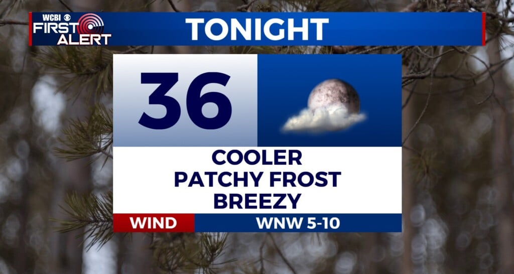
THURSDAY NIGHT: Clearing skies and cool. Lows in the mid to upper 40s.
FRIDAY: Mostly sunny skies. A pretty nice day for the end of the workweek. Highs in the low to mid 70s. Winds NW 5-15 mph.
FRIDAY NIGHT: Mostly clear. Lows in the upper 40s to lower 50s.
SATURDAY: A mix of sun & clouds. Getting warm and humid again. Highs back up into the lower 80s. Lows in the upper 50s to lower 60s Saturday night.
SUNDAY: Warmer and more humid with highs in the lower mid 80s. A good chance of afternoon and evening showers and storms. We’ll keep monitoring trends for any strong or severe possibilities.
MONDAY-WEDNESDAY: We’ll see off-and-on again showers and storms through midweek. Highs back down to below average in the mid 70s.
Stay connected with @WCBIWEATHER on Facebook, Twitter, Instagram, and the WCBI News App.


Leave a Reply