A break before tropical moisture
COLUMBUS, Mississippi (WCBI) – A few leftover showers continue through our Wednesday evening before the rain chance takes a break. The next round for moisture will move in with some of the outer bands from Helene.
WEDNESDAY NIGHT: Chance for a few more showers will continue through the evening, but expect some partial clearing overnight. Low temperatures will be dropping into the lower & middle 60s.
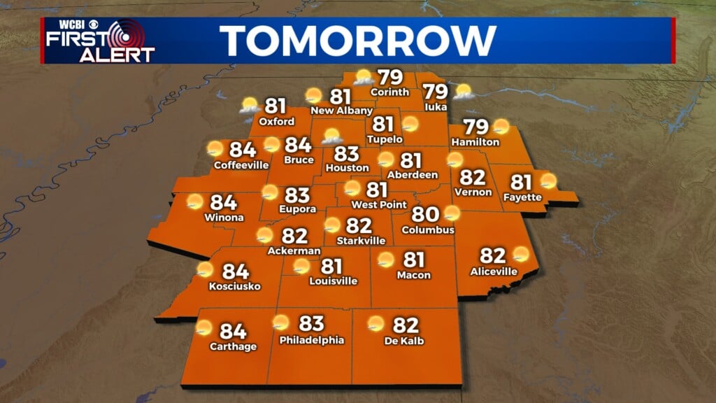
THURSDAY: The Deep South will have a split forecast! Dry air will wrap in behind yesterday’s front to give us a relatively dry day in NE MS, with some sunshine at times! A powerful Helene will be making a final approach to the FL Big Bend Thursday PM, potentially as a major hurricane. By Thursday evening, showers from the outer bands of the rotation are likely to push into northeastern MS from Alabama. Heavier rain could set up Thursday night for parts of the region.
FRIDAY: Interacting with an upper-level Low, the path of Helene will move to the North and NW as it continues to weaken. This will likely bring a steady chance for rain along and North of US 82 earlier in the day to the afternoon. Temperatures will be comfortable in the middle 70s. Lows continue to be mild in the low to middle 60s.
WEEKEND: Scattered clouds and spotty showers will continue in the forecast, with the presence of the upper-level Low hanging around. Temperatures will hover in the upper 70s to lower 90s.


