Rain Tapers Off Today. Cool Weather Through End Of 2017.
TODAY: Rain showers continue early this morning. A few areas of wintry mix cannot be ruled out along and north of a line from Vernon to Grenada. Widespread travel impacts are not anticipated. Rain tapers off by 10AM. Clouds decrease some this afternoon. Highs in the low 40s with overnight lows in the low 20s.
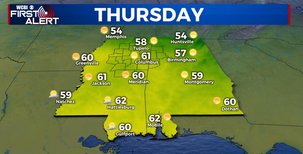
THU/FRI/SAT: Mostly sunny and cool weather to round out the work week. Highs in the upper 40s each day. Lows drop well below freezing each night, down into the low 20s.
NEW YEAR’S EVE: Models continue to struggle in the long range, complicating our forecast as we head into 2018. For now, we’re leaning closer to the Euro solution on precip, which would leave our chance for any wintry precipitation on the lower side. For now, I’m going with 30%. Model struggles have led to us using a blend of model temps in the long term, which puts our high in the mid to upper 30s Sunday, with overnight lows dropping down to the low 20s.
NEW YEAR’S DAY/TUE: Cold weather kicks off 2018. Again, models have around a 15-20° difference in high temperatures here, but it’s a safe bet to say we will be rather cold either way to start the new year. As mentioned, we’re using a blend of model temps here, so these numbers are likely to change, but for now we’re going with highs in the mid 30s, with an overnight low Monday night in the teens.


Leave a Reply