Warm with storms Friday, much cooler this weekend
SUMMARY: Staying calm and warm through tonight, only a very slight chance of a stray shower or storm. Tomorrow, a cold front approaches, and we may wake up to showers in the area. Not a washout, but scattered showers and storms in the afternoon. The front brings in unseasonably cool air for Memorial day weekend. We warm back up next week, with an increase in shower and storm chances.
TONIGHT: a slight chance of a stray shower in the evening. Otherwise, staying calm with increasing clouds overnight. A few showers possible by morning, lows around 70.
FRIDAY: A dying squall line may bring a few showers and gusty breezes early in the day. As the afternoon goes on, more showers and storms will develop, but coverage will be scattered in nature. Storms could have some gusty winds and heavy rain. Expect a high near 85.
FRIDAY NIGHT: The cold front will sweep in much drier and cooler air for Friday night. Very comfortable temperatures are expected, with winds switching to the NW. Some low clouds may build in overnight. Lows in the mid 50s.
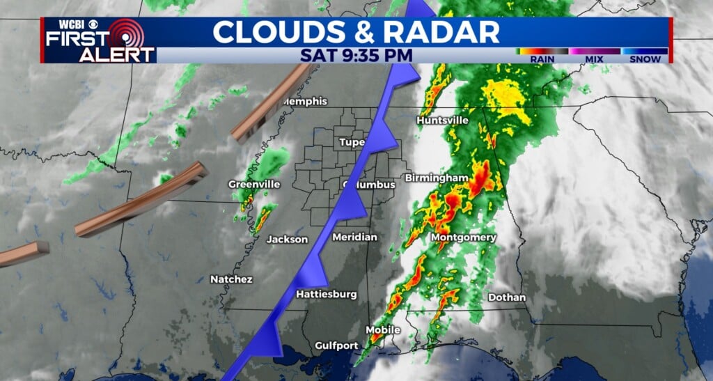
SATURDAY: A rare late May treat in store for Saturday! Much cooler and well below average. The only caveat will be low clouds which may linger for much of the day. No rain, and high temps only in the mid 70s!
SATURDAY NIGHT: Even cooler than Friday night. Those low clouds will clear out as the night goes on, and NW winds will funnel in very cool air. Expect a low around 50, with some spots possibly reaching the 40s!
SUNDAY AND BEYOND: Sunday and Memorial day look very nice, with dry air, highs in the low to mid 80s, and lots of sunshine. The humidity quickly returns as we head into the workweek, and Tuesday we are back in the upper 80s. Upper 80s stick around through the end of the week with rain chances back in the forecast for Wednesday and Thursday.
Connect with @WCBIweather on Facebook, Twitter and Instagram


Leave a Reply