Severe storms Friday evening & night
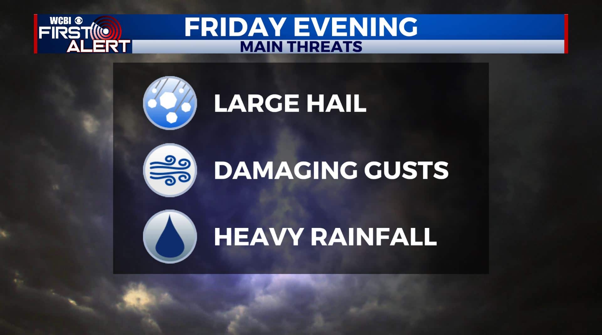
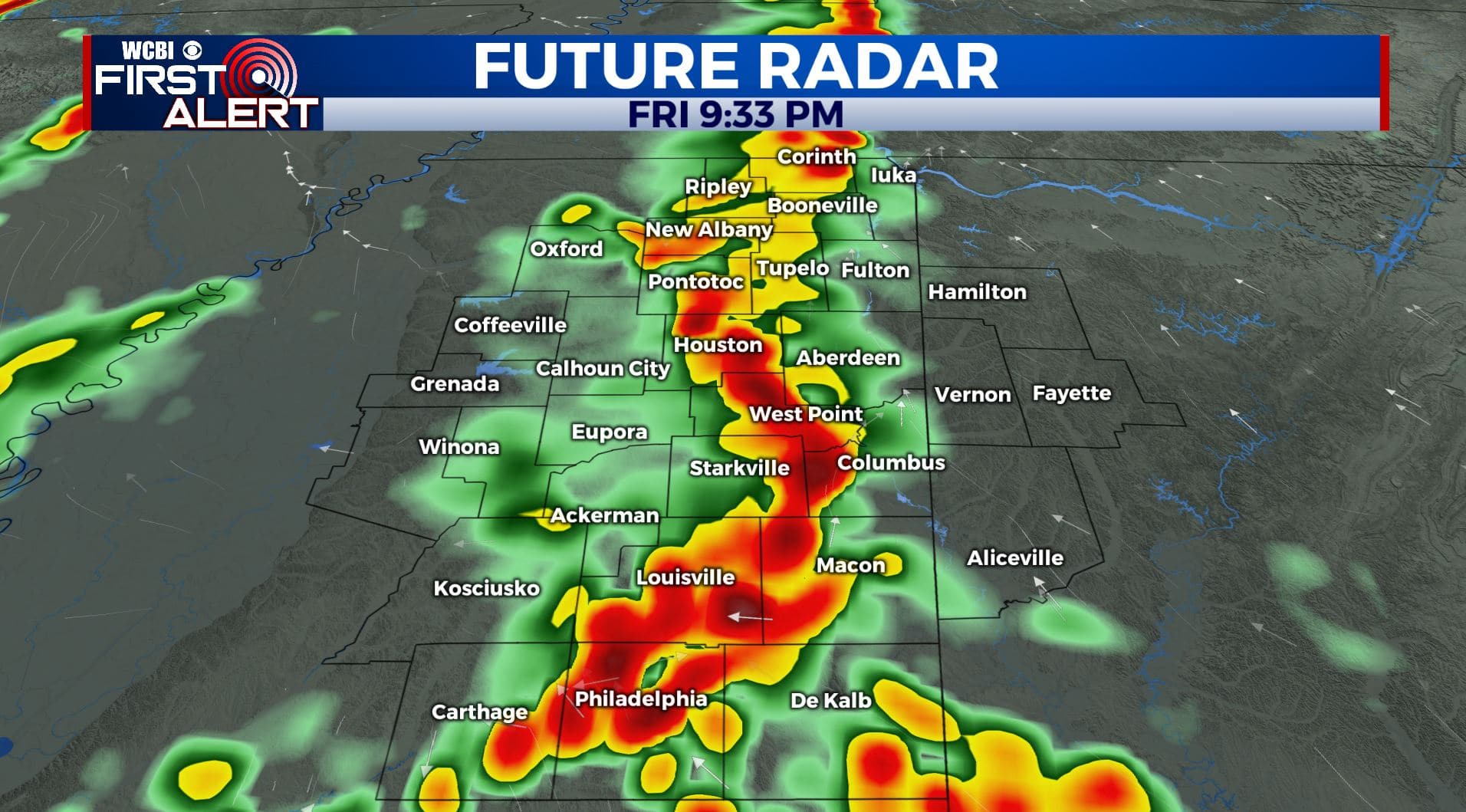
FRIDAY EVENING: Scattered to numerous showers and storms are likely across the area. These look to be primarily wind and hail producers in addition to torrential rain and lightning. The tornado risk should remain on the lower end with the evening activity but it can’t be ruled out. Temperatures will cool into the 70s and then upper 60s by midnight.
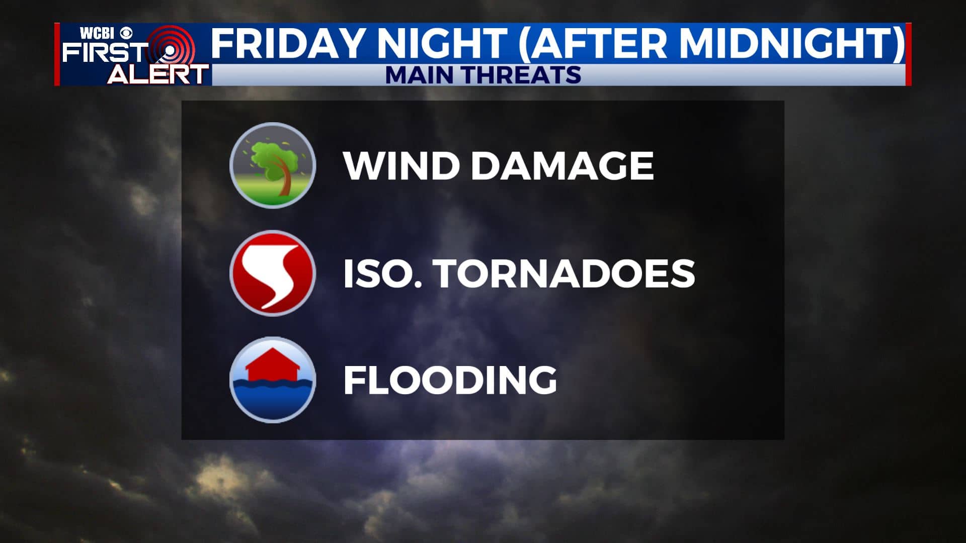
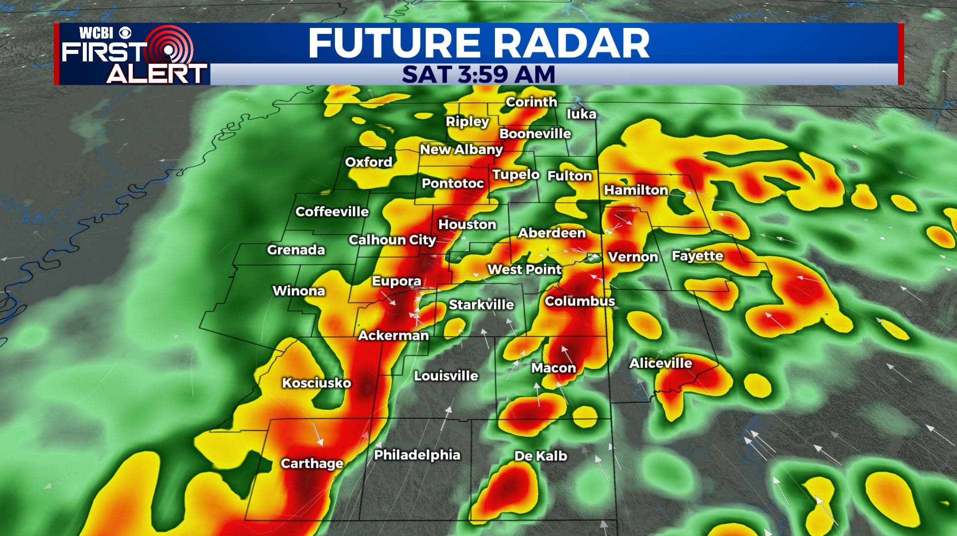
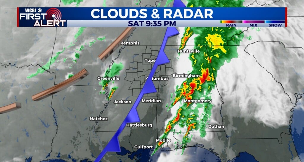
FRIDAY NIGHT (AFTER MIDNIGHT): A second wave of storms is likely going to sweep from NW to SE across the entire region. This activity will have wind damage potential, perhaps gusts in the 60-70 mph range, and a continuing chance of an isolated tornado or two. Widespread heavy rain, maybe over 4″ in spots, could also lead to flooding. Lows will be around 60 by sunrise. The severe threat should end by 7 or 8 a.m. at the latest… but hopefully a few hours earlier.
SATURDAY: Lots of clouds can be expected during the morning in the wake of the early storms but it’ll be pretty quiet over. Some sun should develop during the afternoon allowing highs to recover into the mid 70s. While a few stray afternoon showers are possible, most spots shouldn’t have anything to worry about. Winds from the SW 10-20 mph.
SATURDAY NIGHT: Partly cloudy & cooler. Lows in the mid 40s.
SUNDAY: Mostly sunny. Highs in the mid to upper 70s.
SUNDAY NIGHT: Partly cloudy. Lows in the mid to upper 40s.
MONDAY: Partly cloudy. Highs around 80.
TUESDAY: Mostly cloudy. A 30% chance of rain showers. Highs in the upper 70s.
WEDNESDAY: Mostly cloudy with areas of rain. Cooler highs in the upper 60s.
Follow @WCBIWEATHER on Facebook, Twitter, Instagram, and the WCBI News App


Leave a Reply