Steady to heavy rain likely mid-week
COLUMBUS, Mississippi (WCBI) – Dry weather comes to a halt over the next several days with waves of rain likely mid-week. Storm potential could increase as well.
TUESDAY: Rain develops into north Mississippi and west Alabama through the day, becoming steady to heavy & widespread by afternoon & evening. Temperatures stay in the 50s area-wide, with the exception of Noxubee/Kemper/Pickens counties where temps in the 60s are possible.
TUESDAY NIGHT: Rain continues for most spots, and totals will begin exceed 1-2″ at this point.
WEDNESDAY: Highly uncertain forecast w/respect to severe potential. Ongoing rain in the morning will initially inhibit the northward push of unstable air, but there is a chance the southern flank of showers begins to strengthen and/or new storms develop into an area experiencing destabilization by afternoon and early evening. One thing’s for certain – additional heavy rain is likely, but the severe potential is a little more conditional.
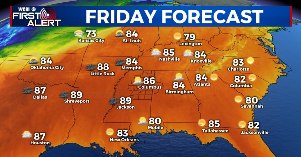
THU/FRI: Some clearing is expected to end the week, and Valentine’s Day Friday still looks fairly pleasant and mostly dry. A few showers could return late Friday, but the dinner hour looks dry at this point.
SATURDAY: Another day of active weather. Showers and storms early in the morning will clear, and the air will become much more favorable for additional storm development by afternoon & evening. Lots of moisture, unstable air, and wind energy will provide a risk of severe storms area-wide, but particulars w/timing and storm mode are unclear at this point.


