Mostly dry Monday ahead of unsettled, wet mid-week
COLUMBUS, Mississippi (WCBI) – The work week begins on a dry note, but heavy rain and even some storm potential will increase through the week and again for the weekend.
MONDAY: Behind Sunday morning’s front, clouds linger to start the week. Temperatures will slowly make their way into the upper 40s and lower 50s by afternoon.
MONDAY NIGHT: Temperatures will hold steady in the middle 40s as cloud coverage remains.
TUESDAY: While the day may begin dry, rain will develop steadily into the state through the morning hours. Rain will overspread the entire coverage area by afternoon and will linger into the evening hours. Steady to locally heavy rain is likely along with a few rumbles, and an initial 1-2″ of rain appears likely.
WEDNESDAY: There remains some uncertainty, but warmer, more unstable air to the south may get shunted northward ahead of yet another disturbance. Should this occur, some severe weather potential may evolve. Regardless, we expect another wave or two of heavy rain to move through the region Wednesday with an additional 2-3″ of rain. 2-day rain totals by Wednesday night could exceed 4-5″.
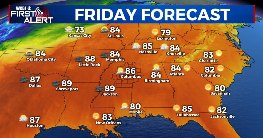
THURS INTO WEEKEND: Clouds will likely linger Thursday and Friday ahead of yet another strong system Saturday. For now, we expect scattered to numerous showers and storms Saturday w/some severe weather potential possible. Cooler, drier air filters in on Sunday.


